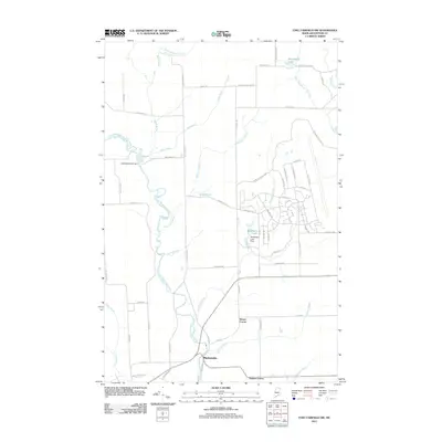
2011 Map of Fort Fairfield NW
USGS Topo · Published 2011About this map
The Little Madawaska River meanders through the heart of this Aroostook County landscape, punctuated by the Little Madawaska Dam and a network of tributary brooks including Kelly Brook and Wolverton Brook. The presence of Loring Air Force Base in the eastern portion of the sheet introduces a distinct military footprint, with dedicated roadways such as Flightline Rd, Peacekeeper Rd, and Blackbird Rd serving the installation.
Find a feature on this map
66 named features on this map. Tap any name to fly to it.
Don’t see what you’re looking for? This feature index may not catch every label — zoom into the map to look around manually.
Map Details
Editions of this 2011 Fort Fairfield NW Map
This is the sole edition of this map. No revisions or reprints were ever made.
Other maps of this area

1921 · Van Buren
USGS Topo · 1:250,000

1927 · Stockholm
USGS Topo · 1:48,000

1929 · Caribou
USGS Topo · 1:48,000

1930 · Fort Fairfield
USGS Topo · 1:48,000

1931 · Van Buren
USGS Topo · 1:48,000

1931 · Stockholm
USGS Topo · 1:62,500

1932 · Caribou
USGS Topo · 1:62,500

1933 · Fort Fairfield
USGS Topo · 1:62,500

1934 · Van Buren
USGS Topo · 1:62,500

1951 · Van Buren
USGS Topo · 1:62,500