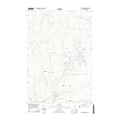
2014 Map of Fort Fairfield NW
USGS Topo · Published 2014About this map
Loring International Airport and its complex network of aviation-related infrastructure dominate the eastern landscape of this northern Maine survey. The footprint of the former base at Loring is clearly defined by an extensive grid of specialized roadways, including Flightline Rd, Snow Barn Rd, and numerous state-named thoroughfares like Colorado Rd and Kansas Rd. This military industrial legacy contrasts with the rural character of the surrounding area, where small clusters of settlement such as Madawaska, Brown Corner, and Somers Corner are interspersed among agricultural fields and woodlands.
Find a feature on this map
90 named features on this map. Tap any name to fly to it.
Don’t see what you’re looking for? This feature index may not catch every label — zoom into the map to look around manually.
Map Details
Editions of this 2014 Fort Fairfield NW Map
This is the sole edition of this map. No revisions or reprints were ever made.
Other maps of this area

1921 · Van Buren
USGS Topo · 1:250,000

1927 · Stockholm
USGS Topo · 1:48,000

1929 · Caribou
USGS Topo · 1:48,000

1930 · Fort Fairfield
USGS Topo · 1:48,000

1931 · Van Buren
USGS Topo · 1:48,000

1931 · Stockholm
USGS Topo · 1:62,500

1932 · Caribou
USGS Topo · 1:62,500

1933 · Fort Fairfield
USGS Topo · 1:62,500

1934 · Van Buren
USGS Topo · 1:62,500

1951 · Van Buren
USGS Topo · 1:62,500