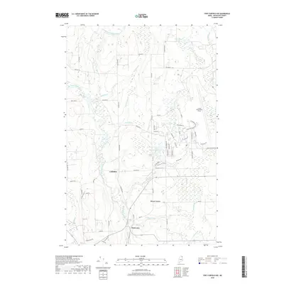
2018 Map of Fort Fairfield NW
USGS Topo · Published 2018About this map
The Little Madawaska River winds through this section of Aroostook County, carving a path through a landscape defined by its waterways and agricultural road network. The settlement of Madawaska and the junction at Brown Corner anchor the southern portion of the map, while the sprawling footprint of the Loring International Airport dominates the eastern boundary, reflecting the region's mid-century aviation history.
Find a feature on this map
71 named features on this map. Tap any name to fly to it.
Don’t see what you’re looking for? This feature index may not catch every label — zoom into the map to look around manually.
Map Details
Editions of this 2018 Fort Fairfield NW Map
This is the sole edition of this map. No revisions or reprints were ever made.
Other maps of this area

1921 · Van Buren
USGS Topo · 1:250,000

1927 · Stockholm
USGS Topo · 1:48,000

1929 · Caribou
USGS Topo · 1:48,000

1930 · Fort Fairfield
USGS Topo · 1:48,000

1931 · Van Buren
USGS Topo · 1:48,000

1931 · Stockholm
USGS Topo · 1:62,500

1932 · Caribou
USGS Topo · 1:62,500

1933 · Fort Fairfield
USGS Topo · 1:62,500

1934 · Van Buren
USGS Topo · 1:62,500

1951 · Van Buren
USGS Topo · 1:62,500