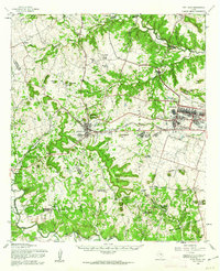
1958 Map of Fort Hood
USGS Topo · Published 1962About this map
Copperas Cove serves as the primary civilian hub on this 1950s landscape, positioned just outside the expansive Fort Hood Military Reservation. The map details a period of significant military infrastructure development, showing McNair Village and Chaffee Village as residential centers for the base alongside a specialized Hospital and Sewage Disposal plant. This era of military growth contrasts with the established rural character of the surrounding Hill Country, where family and community roots are evident at Twin Mountains Cem and the Clear Creek Ch.
Find a feature on this map
79 named features on this map. Tap any name to fly to it.
Don’t see what you’re looking for? This feature index may not catch every label — zoom into the map to look around manually.
Map Details
Editions of this 1958 Fort Hood Map
This is the sole edition of this map. No revisions or reprints were ever made.
Other maps of this area

1887 · Lampasas
USGS Topo · 1:125,000

1887 · Burnet
USGS Topo · 1:125,000

1893 · Georgetown
USGS Topo · 1:125,000

1893 · Burnet
USGS Topo · 1:125,000

1894 · Lampasas
USGS Topo · 1:125,000

1894 · Gatesville
USGS Topo · 1:125,000

1903 · Burnet
USGS Topo · 1:125,000

1909 · Burnet
USGS Topo · 1:125,000

1930 · Killeen
USGS Topo · 1:62,500

1947 · Fort Hood
USGS Topo · 1:62,500