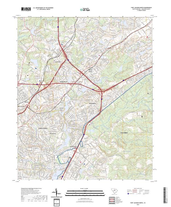
2024 Map of Fort Jackson North
USGS Topo · Published 2024About this map
Fort Jackson dominates the eastern quadrant of this Richland County landscape, where the military reservation's wooded training grounds meet the expanding suburban reach of Columbia. This contemporary survey illustrates the dense residential networks of Forest Acres and Arcadia Lakes, where numerous water bodies like Forest Lake and Lake Katherine define the neighborhood geography. The northern sections transitions from the established grounds of State Park and the State Hospital Cem toward newer developments in Dentsville and Woodfield.
Find a feature on this map
48 named features on this map. Tap any name to fly to it.
Don’t see what you’re looking for? This feature index may not catch every label — zoom into the map to look around manually.
Map Details
Editions of this 2024 Fort Jackson North Map
This is the sole edition of this map. No revisions or reprints were ever made.
Other maps of this area

1904 · Columbia
USGS Topo · 1:125,000

1935 · Killian
USGS Topo · 1:48,000

1937 · Killian
USGS Topo · 1:62,500

1941 · Spartanburg
USGS Topo · 1:250,000

1942 · Camden
USGS Topo · 1:125,000

1944 · Edmund
USGS Topo · 1:62,500

1947 · Columbia North
USGS Topo · 1:24,000

1948 · Hopkins
USGS Topo · 1:62,500

1948 · Columbia North
USGS Topo · 1:24,000

1949 · Irmo NE
USGS Topo · 1:24,000