
1970 Map of Fort Larned
USGS Topo · Published 1971About this map
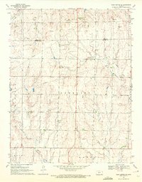
Fort Larned National Historic Site stands as a central landmark in this 1970 landscape, marking the enduring presence of this military post along the Pawnee River. The map illustrates a transition from the structured grounds of the Larned State Hospital and Larned Cemetery to the vast agricultural sections of the Pawnee and Santa Fe townships. The serpentine course of the river dominates the central terrain, bordered by the local elevations of Jenkins Hill and Pleasant Ridge.
Find a feature on this map
22 named features on this map. Tap any name to fly to it.
Don’t see what you’re looking for? This feature index may not catch every label — zoom into the map to look around manually.
Map Details
Editions of this 1970 Fort Larned Map
This is the sole edition of this map. No revisions or reprints were ever made.
Other maps of this area

1889 · Larned
USGS Topo · 1:125,000

1891 · Larned
USGS Topo · 1:125,000

1955 · Great Bend
USGS Topo · 1:250,000

1957 · Great Bend
USGS Topo · 1:250,000

1958 · Great Bend
USGS Topo · 1:250,000
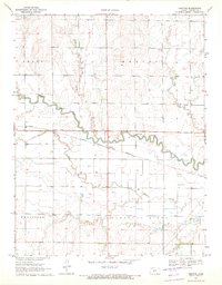
1970 · Sanford
USGS Topo · 1:24,000
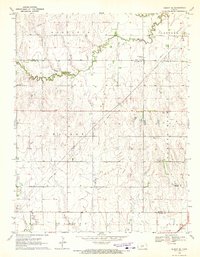
1970 · Albert SE
USGS Topo · 1:24,000
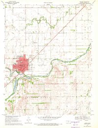
1970 · Larned
USGS Topo · 1:24,000
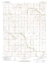
1970 · Ash Valley
USGS Topo · 1:24,000
1970 · Rush Center SE
USGS Topo · 1:24,000