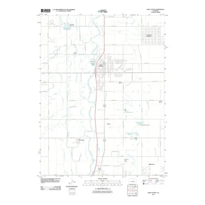
2010 Map of Fort Lupton
USGS Topo · Published 2010About this map
The South Platte River corridor defines the geography of this Weld County region, where a complex network of irrigation infrastructure supports the agricultural valley. The town of Fort Lupton serves as the central hub, surrounded by an intricate system of water management including the Fulton Ditch, Brantner Ditch, and Brighton Ditch. These waterways, alongside several smaller laterals and canals, illustrate the intensive land use required for high-plains farming.
Find a feature on this map
52 named features on this map. Tap any name to fly to it.
Don’t see what you’re looking for? This feature index may not catch every label — zoom into the map to look around manually.
Map Details
Editions of this 2010 Fort Lupton Map
This is the sole edition of this map. No revisions or reprints were ever made.
Other maps of this area

1890 · East Denver
USGS Topo · 1:125,000

1902 · Greeley
USGS Topo · 1:125,000

1940 · Brighton
USGS Topo · 1:31,680

1940 · Eastlake
USGS Topo · 1:31,680

1942 · Mile High Lakes
USGS Topo · 1:31,680

1944 · Brighton
USGS Topo · 1:31,680

1944 · Eastlake
USGS Topo · 1:31,680

1949 · Gowanda
USGS Topo · 1:24,000

1949 · Fort Lupton
USGS Topo · 1:24,000

1949 · Platteville
USGS Topo · 1:24,000