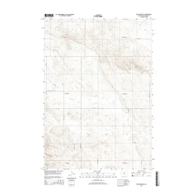
2015 Map of Fort Meade SE
USGS Topo · Published 2015About this map
Pleasant Valley Cr and Antelope Cr flow through this section of Meade County, reflecting the drainage patterns that have long dictated settlement and land use in this part of South Dakota. The landscape is defined by a network of rural roads such as Tilford Rd and Pleasant Valley Rd, which follow the natural contours of the drainages and valleys. This 2015 data from the U.S. Geological Survey shows the modern rural layout, where named residential and access routes like Northwood Dr and Timbercreek Dr signify more recent development within the township and range divisions. The course of Morris Cr further illustrates the hydrological complexity of the area, providing a precise look at the geography before further contemporary changes occurred in the region.
Find a feature on this map
23 named features on this map. Tap any name to fly to it.
Don’t see what you’re looking for? This feature index may not catch every label — zoom into the map to look around manually.
Map Details
Editions of this 2015 Fort Meade SE Map
This is the sole edition of this map. No revisions or reprints were ever made.
Other maps of this area

1893 · Rapid
USGS Topo · 1:125,000

1898 · Rapid
USGS Topo · 1:125,000

1903 · Rapid
USGS Topo · 1:125,000

1953 · Rapid City 1 SW
USGS Topo · 1:24,000

1953 · Rapid City 1 NW
USGS Topo · 1:24,000

1953 · Blackhawk
USGS Topo · 1:24,000

1953 · Piedmont
USGS Topo · 1:24,000
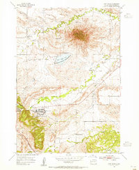
1953 · Fort Meade
USGS Topo · 1:24,000

1953 · Rapid City NW
USGS Topo · 1:24,000
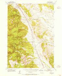
1953 · Tilford
USGS Topo · 1:24,000