
1953 Map of Rapid City 1 SW
USGS Topo · Published 1954About this map
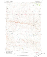
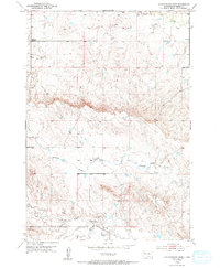
The high plains of Alkali Creek and the surrounding drainage basins characterize this territory northwest of Rapid City in the early 1950s. The landscape is defined by the erosion patterns of the Cottonwood Draw and the winding course of Antelope Creek, which transitions from open terrain into more complex topography. A notable indicator of changing settlement patterns is the Hall Sch, identified as an abandoned structure at the time of the 1952 aerial photography and 1953 field check. This detail provides a specific point of interest for those tracking early twentieth-century rural education infrastructure. In the southern portion of the sheet, Morris Creek and the larger Elk Creek provide the primary water sources for this ranching and grazing land. The map offers a clear view of the area's natural hydrology before significant modern suburban expansion reached these Meade County slopes.
Find a feature on this map
6 named features on this map. Tap any name to fly to it.
Don’t see what you’re looking for? This feature index may not catch every label — zoom into the map to look around manually.
Map Details
Editions of this 1953 Rapid City 1 SW Map
3 editions found
Other maps of this area

1893 · Rapid
USGS Topo · 1:125,000

1898 · Rapid
USGS Topo · 1:125,000

1903 · Rapid
USGS Topo · 1:125,000

1953 · Bend
USGS Topo · 1:24,000

1953 · Rapid City 1 NW
USGS Topo · 1:24,000

1953 · Blackhawk
USGS Topo · 1:24,000

1953 · Rapid City NW
USGS Topo · 1:24,000

1953 · Rapid City 1 NE
USGS Topo · 1:24,000

1953 · Rapid City 1 SE
USGS Topo · 1:24,000
1953 · Fort Meade NE
USGS Topo · 1:24,000