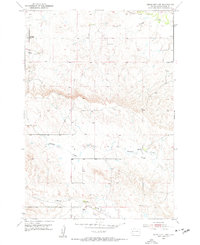
1953 Map of Rapid City 1 SW
USGS Topo · Published 1954About this map
Alkali Creek and Cottonwood Draw define the northern drainage of this Meade County landscape as it appeared in the early 1950s. The map captures a transition between the elevated tablelands and the creek bottoms where seasonal waterways like Antelope Creek and Morris Creek cut through the terrain. A notable marker of shifting rural demographics is the Hall Sch, which is specifically labeled as abandoned by the time of the 1953 field check. This detail provides a specific point of interest for local historians tracking the consolidation of rural school districts. To the south, Elk Creek flows through the lower reaches of the quadrangle, illustrating the natural water network that supported the region's ranching and agricultural development during this post-war era.
Find a feature on this map
6 named features on this map. Tap any name to fly to it.
Don’t see what you’re looking for? This feature index may not catch every label — zoom into the map to look around manually.
Map Details
Editions of this 1953 Rapid City 1 SW Map
3 editions found
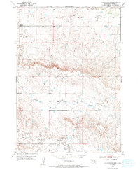
Other maps of this area

1893 · Rapid
USGS Topo · 1:125,000

1898 · Rapid
USGS Topo · 1:125,000

1903 · Rapid
USGS Topo · 1:125,000

1953 · Bend
USGS Topo · 1:24,000

1953 · Rapid City 1 SW
USGS Topo · 1:24,000

1953 · Rapid City 1 NW
USGS Topo · 1:24,000

1953 · Blackhawk
USGS Topo · 1:24,000

1953 · Rapid City NW
USGS Topo · 1:24,000

1953 · Rapid City 1 NE
USGS Topo · 1:24,000

1953 · Rapid City 1 SE
USGS Topo · 1:24,000