
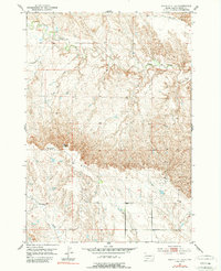
1953 Map of Rapid City 1 SE
USGS Topo · Published 1955About this map
Costello Point anchors this landscape in western South Dakota during the early 1950s, a period of transition for the rural educational system in the Black Hills region. The presence of the Morse Creek Sch (Abandoned) serves as a quiet marker of changing population patterns and the consolidation of rural districts, while the Prairie View Sch remains a focal point for the community to the south.
Find a feature on this map
7 named features on this map. Tap any name to fly to it.
Don’t see what you’re looking for? This feature index may not catch every label — zoom into the map to look around manually.
Map Details
Editions of this 1953 Rapid City 1 SE Map
3 editions found
Other maps of this area

1893 · Rapid
USGS Topo · 1:125,000

1898 · Rapid
USGS Topo · 1:125,000

1903 · Rapid
USGS Topo · 1:125,000

1953 · Bend
USGS Topo · 1:24,000

1953 · Rapid City 1 SW
USGS Topo · 1:24,000

1953 · Rapid City 1 NW
USGS Topo · 1:24,000

1953 · Hereford
USGS Topo · 1:24,000

1953 · Rapid City NW
USGS Topo · 1:24,000

1953 · Hereford SW
USGS Topo · 1:24,000

1953 · Rapid City 1 NE
USGS Topo · 1:24,000