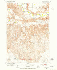
1953 Map of Hereford SW
USGS Topo · Published 1955About this map
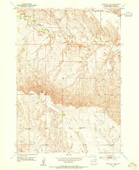
The Belle Fourche River winds through the northern reaches of this Meade County landscape, defining the topography of the region in the early 1950s. The river's path is marked by a prominent levee system and sits below the elevated Cross S terrain, which overlooks the valley. To the south, the land becomes a intricate network of drainage patterns, including the winding Alkali Creek and the long course of Boydson Draw.
Find a feature on this map
7 named features on this map. Tap any name to fly to it.
Don’t see what you’re looking for? This feature index may not catch every label — zoom into the map to look around manually.
Map Details
Editions of this 1953 Hereford SW Map
2 editions found

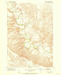
Other maps of this area

1893 · Rapid
USGS Topo · 1:125,000

1898 · Rapid
USGS Topo · 1:125,000

1903 · Rapid
USGS Topo · 1:125,000
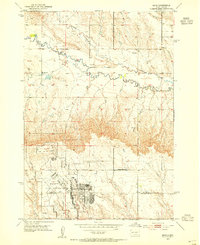
1953 · Bend
USGS Topo · 1:24,000
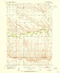
1953 · Viewfield
USGS Topo · 1:24,000

1953 · Hereford SE
USGS Topo · 1:24,000

1953 · Hereford
USGS Topo · 1:24,000
1953 · Rapid City 1 NE
USGS Topo · 1:24,000
1953 · Rapid City 1 SE
USGS Topo · 1:24,000

1953 · Hereford NE
USGS Topo · 1:24,000