
1953 Map of Hereford SE
USGS Topo · Published 1954About this map
The Belle Fourche River snakes across this Meade County landscape, defining the transition between the river valley and the high southern plateaus. In the early 1950s, this area of South Dakota remained deeply rooted in a rural, pastoral economy, as evidenced by the distribution of one-room schoolhouses like Doyle Sch and Walthall Sch positioned north of the river. The topography is marked by significant elevation changes, with the northern section featuring the Cross S terrain and various drainage systems such as Dry Creek, Alkali Cr, and Elm Creek. A scattered presence of ranching infrastructure is noted by a lonely Windmill, emphasizing the reliance on groundwater in this part of the plains. This survey, conducted just after the mid-century, captures the exact drainage patterns and section lines that governed land ownership and local education before the consolidation of rural school districts.
Find a feature on this map
11 named features on this map. Tap any name to fly to it.
Don’t see what you’re looking for? This feature index may not catch every label — zoom into the map to look around manually.
Map Details
Editions of this 1953 Hereford SE Map
This is the sole edition of this map. No revisions or reprints were ever made.
Other maps of this area

1953 · Viewfield
USGS Topo · 1:24,000

1953 · Hereford
USGS Topo · 1:24,000

1953 · Hereford SW
USGS Topo · 1:24,000

1953 · Hereford NE
USGS Topo · 1:24,000
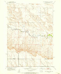
1953 · New Underwood NW
USGS Topo · 1:24,000

1953 · Rapid City
USGS Topo · 1:250,000

1954 · Elm Springs SW
USGS Topo · 1:24,000

1954 · Haydraw
USGS Topo · 1:24,000

1957 · Rapid City
USGS Topo · 1:250,000
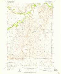
1957 · Owanka NW
USGS Topo · 1:24,000