
1954 Map of Elm Springs SW
USGS Topo · Published 1956About this map
The Belle Fourche River winds through the northern reaches of this Meade County landscape, joined by its tributaries Elm Creek and Hay Creek. This 1954 field check, conducted as part of the Department of the Interior's Missouri River Basin development program, documents a rural expanse defined by its seasonal waterways and sparse community landmarks. Local social life is anchored by the Sweet Clover Sch in the western section of the sheet, while the southern border is defined by the course of Elk Creek. Along the banks of Elk Creek lies Lakeside, a notable point of interest in an otherwise open terrain. The mapping detail reveals the complex drainage patterns of the region, including smaller features like Adams Draw, illustrating the relationship between the prairie hydrology and the scattered infrastructure of mid-century South Dakota.
Find a feature on this map
7 named features on this map. Tap any name to fly to it.
Don’t see what you’re looking for? This feature index may not catch every label — zoom into the map to look around manually.
Map Details
Editions of this 1954 Elm Springs SW Map
This is the sole edition of this map. No revisions or reprints were ever made.
Other maps of this area

1953 · Viewfield
USGS Topo · 1:24,000

1953 · Hereford SE
USGS Topo · 1:24,000

1953 · Hereford NE
USGS Topo · 1:24,000

1953 · Rapid City
USGS Topo · 1:250,000

1954 · Haydraw
USGS Topo · 1:24,000

1954 · Elm Springs
USGS Topo · 1:24,000

1954 · Boneita Springs
USGS Topo · 1:24,000

1957 · Rapid City
USGS Topo · 1:250,000
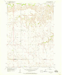
1957 · Owanka NE
USGS Topo · 1:24,000
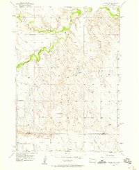
1957 · Owanka NW
USGS Topo · 1:24,000