1953 Map of Viewfield
USGS Topo · Published 1954About this map
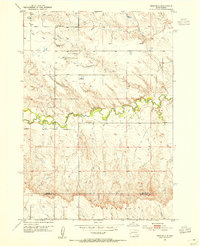
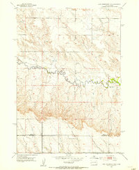
Elk Creek winds through the heart of this West River landscape, creating a distinct corridor of vegetation and relief amidst the surrounding high plains. In the early 1950s, the small settlement of Viewfield served as a local hub near the Viewfield Cem, anchoring a rural community defined by its dispersed one-room schoolhouses. The presence of both Lost Nation Sch to the north and Red Top Sch further south reflects the educational infrastructure required for ranching families before the widespread consolidation of rural districts. This survey also documents the geopolitical boundary where Meade Co meets Pennington Co, following a straight section line that cuts across the natural drainage patterns of the Underwood terrain.
Find a feature on this map
7 named features on this map. Tap any name to fly to it.
Don’t see what you’re looking for? This feature index may not catch every label — zoom into the map to look around manually.
Map Details
Editions of this 1953 Viewfield Map
2 editions found

Other maps of this area

1953 · Hereford SE
USGS Topo · 1:24,000
1953 · New Underwood
USGS Topo · 1:24,000
1953 · New Underwood SW
USGS Topo · 1:24,000
1953 · Hereford SW
USGS Topo · 1:24,000
1953 · New Underwood NW
USGS Topo · 1:24,000

1953 · Rapid City
USGS Topo · 1:250,000

1954 · Elm Springs SW
USGS Topo · 1:24,000

1957 · Rapid City
USGS Topo · 1:250,000

1957 · Owanka NW
USGS Topo · 1:24,000

1957 · Owanka SW
USGS Topo · 1:24,000