
1953 Map of New Underwood
USGS Topo · Published 1955About this map
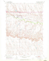
New Underwood serves as the primary hub of this Pennington County landscape in the early 1950s, situated along the Chicago and North Western railroad line. The map reveals a community supported by local infrastructure, including a Hospital, a Water Tank, and the New Underwood Dam Spillway. Outside the town center, the terrain is defined by the winding course of Boxelder Creek and the notable Underwood plateau to the south.
Find a feature on this map
11 named features on this map. Tap any name to fly to it.
Don’t see what you’re looking for? This feature index may not catch every label — zoom into the map to look around manually.
Map Details
Editions of this 1953 New Underwood Map
2 editions found
Other maps of this area

1953 · Viewfield
USGS Topo · 1:24,000

1953 · New Underwood SW
USGS Topo · 1:24,000

1953 · Caputa
USGS Topo · 1:24,000
1953 · New Underwood NW
USGS Topo · 1:24,000

1953 · Caputa NE
USGS Topo · 1:24,000

1953 · Rapid City
USGS Topo · 1:250,000

1954 · Creston
USGS Topo · 1:24,000

1955 · Hot Springs
USGS Topo · 1:250,000

1957 · Rapid City
USGS Topo · 1:250,000
1957 · Owanka NW
USGS Topo · 1:24,000