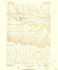
1953 Map of New Underwood
USGS Topo · Published 1972About this map
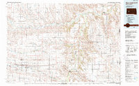
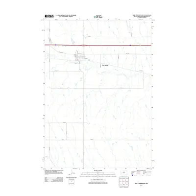
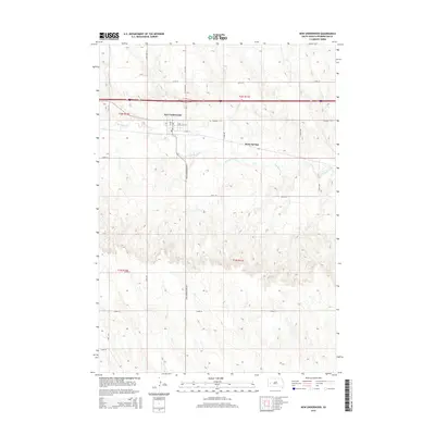
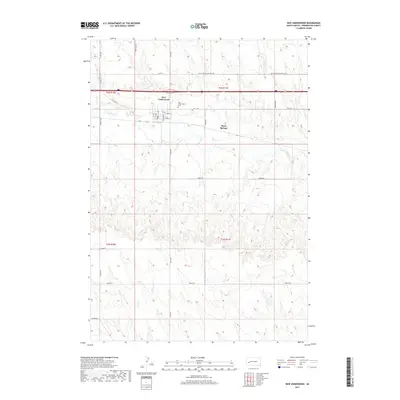
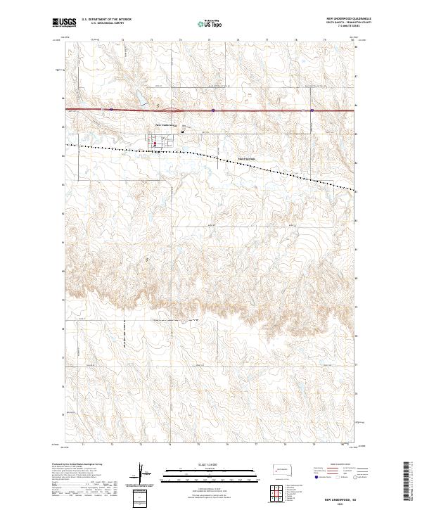
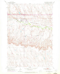
New Underwood (Underwood Sta) serves as the primary hub of this Pennington County landscape, situated along the path of the Chicago and North Western railroad. The settlement is clearly defined by local infrastructure, including a Hospital, a Water Tank, and a nearby Substation. The surrounding terrain is shaped by the winding course of Boxelder Creek and the presence of Mawl Springs, while the New Underwood Dam Spillway 2900 to the north indicates the management of local water resources for the community. This 1953 survey, later updated with 1971 revisions, documents a period when small prairie towns relied heavily on rail connectivity and local springs for sustainability.
Find a feature on this map
9 named features on this map. Tap any name to fly to it.
Don’t see what you’re looking for? This feature index may not catch every label — zoom into the map to look around manually.
Map Details
Editions of this 1953 New Underwood Map
2 editions found
Historical Maps of New Underwood Through Time
6 maps found