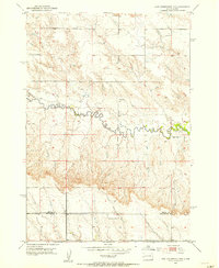
1953 Map of New Underwood NW
USGS Topo · Published 1955About this map
Elk Creek meanders deeply across the center of this rural landscape, carving a complex network of draws and breaks into the West River terrain. This 1953 field-checked survey captures the area at a time when small rural educational centers like Brehm Sch still served the local ranching community. The topography is defined by the sharp contrast between the high tablelands and the winding valley floor, where Antelope Cr joins the larger drainage system. The boundary between Meade Co and Pennington Co bisects the southern portion of the sheet, while scattered benchmarks such as Br 2788 and Br 2739 indicate the established local road network that connected these remote sections of the South Dakota plains.
Find a feature on this map
6 named features on this map. Tap any name to fly to it.
Don’t see what you’re looking for? This feature index may not catch every label — zoom into the map to look around manually.
Map Details
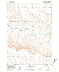
Editions of this 1953 New Underwood NW Map
2 editions found
Other maps of this area

1893 · Rapid
USGS Topo · 1:125,000

1898 · Rapid
USGS Topo · 1:125,000

1903 · Rapid
USGS Topo · 1:125,000

1953 · Bend
USGS Topo · 1:24,000

1953 · Viewfield
USGS Topo · 1:24,000

1953 · Hereford SE
USGS Topo · 1:24,000

1953 · Boxelder
USGS Topo · 1:24,000

1953 · New Underwood
USGS Topo · 1:24,000

1953 · New Underwood SW
USGS Topo · 1:24,000

1953 · Hereford SW
USGS Topo · 1:24,000