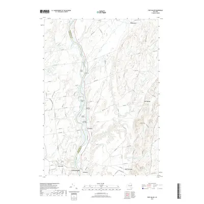
2019 Map of Fort Miller
USGS Topo · Published 2019About this map
Fort Miller and Northumberland anchor this Hudson River valley landscape, where the river serves as the defining border between Saratoga and Washington counties. This corridor is characterized by a series of river islands, including Griffin Island, Thompson Island, and Galusha Island, which have long influenced local navigation and settlement patterns. The river is crossed by the North River Road Bridge and Fort Miller Road Bridge, connecting the established agricultural and industrial hamlets of the region.
Find a feature on this map
88 named features on this map. Tap any name to fly to it.
Don’t see what you’re looking for? This feature index may not catch every label — zoom into the map to look around manually.
Map Details
Editions of this 2019 Fort Miller Map
This is the sole edition of this map. No revisions or reprints were ever made.
Other maps of this area

1893 · Fort Ann
USGS Topo · 1:62,500

1895 · Cambridge
USGS Topo · 1:62,500

1895 · Fort Ann
USGS Topo · 1:62,500

1895 · Glens Falls
USGS Topo · 1:62,500

1897 · Glens Falls
USGS Topo · 1:62,500

1898 · Cambridge
USGS Topo · 1:62,500

1898 · Fort Ann
USGS Topo · 1:62,500

1900 · Schuylerville
USGS Topo · 1:62,500

1901 · Fort Ann
USGS Topo · 1:62,500

1901 · Cambridge
USGS Topo · 1:62,500