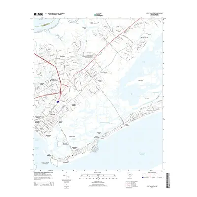
2014 Map of Fort Moultrie
USGS Topo · Published 2014About this map
Fort Moultrie and Fort Sumter National Monument anchor the entrance to Charleston Harbor, marking a landscape deeply intertwined with coastal defense and colonial history. The mainland is dominated by the growth of Mount Pleasant, where newer residential developments like Cassina Heights and Shemwood surround historic hubs. Cultural sites such as the Charles Pinckney National Historic Site and the Venning Cem provide local genealogical and historical depth, while the proximity of Palmetto Fort reflects the area's long military significance.
Find a feature on this map
234 named features on this map. Tap any name to fly to it.
Don’t see what you’re looking for? This feature index may not catch every label — zoom into the map to look around manually.
Map Details
Editions of this 2014 Fort Moultrie Map
This is the sole edition of this map. No revisions or reprints were ever made.
Other maps of this area

1919 · The Jetties
USGS Topo · 1:21,120

1919 · Capers Island
USGS Topo · 1:21,120

1919 · Wando
USGS Topo · 1:21,120

1919 · Melgrove
USGS Topo · 1:21,120

1919 · Charleston
USGS Topo · 1:21,120

1919 · James Island
USGS Topo · 1:21,120

1919 · Fort Moultrie
USGS Topo · 1:21,120

1919 · Sewee Bay
USGS Topo · 1:21,120

1940 · Melgrove
USGS Topo · 1:24,000

1943 · Capers Island
USGS Topo · 1:24,000