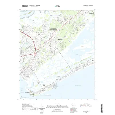
2020 Map of Fort Moultrie
USGS Topo · Published 2020About this map
Fort Sumter National Monument and the historic grounds of Fort Moultrie anchor this coastal survey, where the harbor defenses of South Carolina meet the modern development of the Lowcountry. The map details the complex geography of the barrier islands, from the residential grids of Sullivans Island and the Isle of Palms to the expansive salt marshes and tidal reaches of Hamlin Sound and Copahee Sound. Inland, the suburban growth of Mount Pleasant is juxtaposed with significant cultural landmarks like the Charles Pinckney National Historic Site and the settlement of Snowden. This 2020 edition provides a clear view of the maritime infrastructure along the Intracoastal Waterway, including the Breach Inlet and the Thompson Memorial Bridge, illustrating how transportation networks have integrated these once-isolated islands into the greater Charleston metropolitan area.
Find a feature on this map
140 named features on this map. Tap any name to fly to it.
Don’t see what you’re looking for? This feature index may not catch every label — zoom into the map to look around manually.
Map Details
Editions of this 2020 Fort Moultrie Map
This is the sole edition of this map. No revisions or reprints were ever made.
Other maps of this area

1919 · The Jetties
USGS Topo · 1:21,120

1919 · Capers Island
USGS Topo · 1:21,120

1919 · Wando
USGS Topo · 1:21,120

1919 · Melgrove
USGS Topo · 1:21,120

1919 · Charleston
USGS Topo · 1:21,120

1919 · James Island
USGS Topo · 1:21,120

1919 · Fort Moultrie
USGS Topo · 1:21,120

1919 · Sewee Bay
USGS Topo · 1:21,120

1940 · Melgrove
USGS Topo · 1:24,000

1943 · Capers Island
USGS Topo · 1:24,000