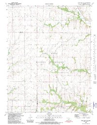
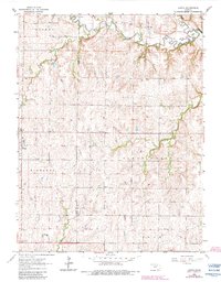
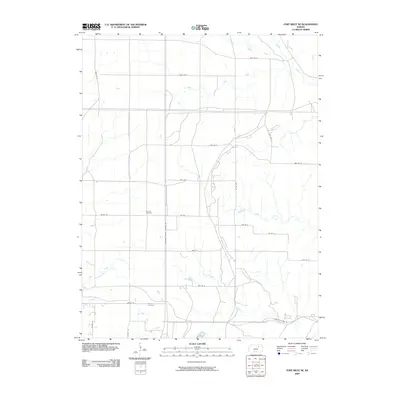
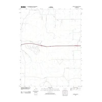
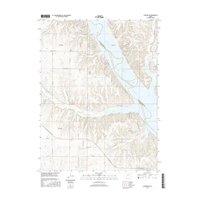
1982 Map of Fort Riley NE
USGS Topo · Published 1982About this map
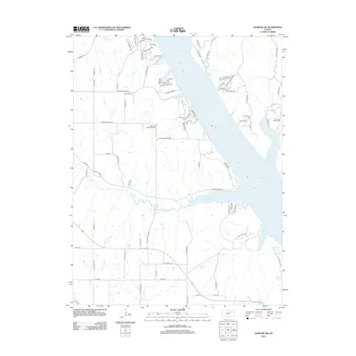
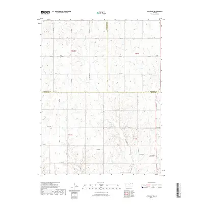
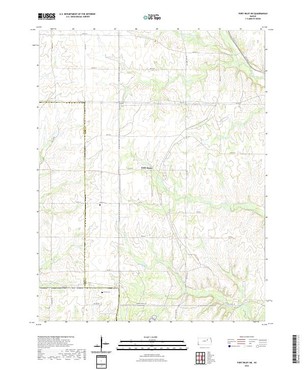
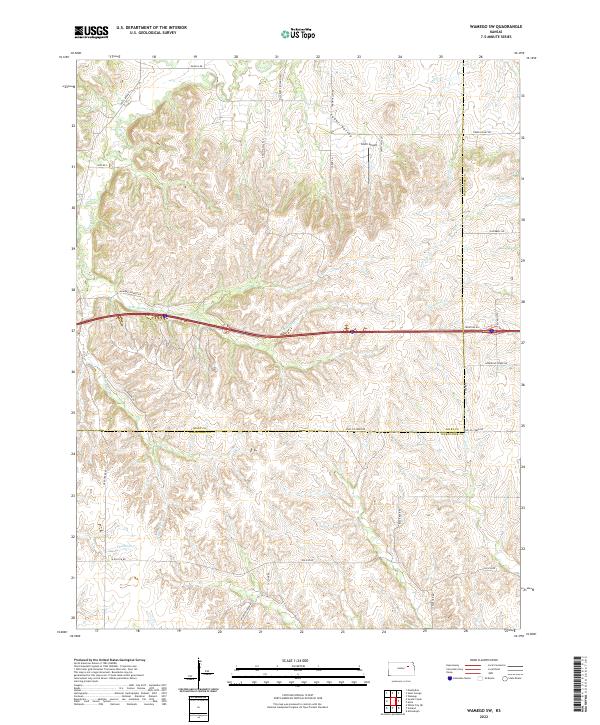
The Fort Riley Military Reservation dominates this northeastern Kansas landscape, where the prairie is deeply etched by a series of numbered drainage systems. The map detail highlights the strategic positioning of military infrastructure, including multiple Landing Strips, an Observation Tower, and the historic route of the Old Military Road. Along the southern border, the settlement of Ogden and the small community of Vinton provide a glimpse into the civilian presence adjacent to the base during the early 1980s.
Find a feature on this map
27 named features on this map. Tap any name to fly to it.
Don’t see what you’re looking for? This feature index may not catch every label — zoom into the map to look around manually.
Map Details
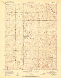
Editions of this 1982 Fort Riley NE Map
This is the sole edition of this map. No revisions or reprints were ever made.
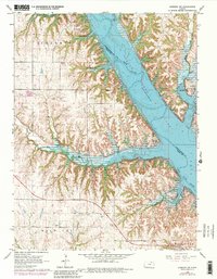
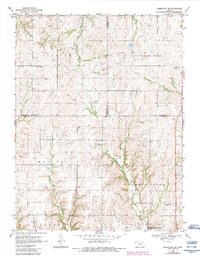
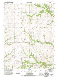
Historical Maps of Riley County Through Time
33 maps found
1951 Wind Creek
Riley County, KS
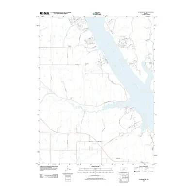
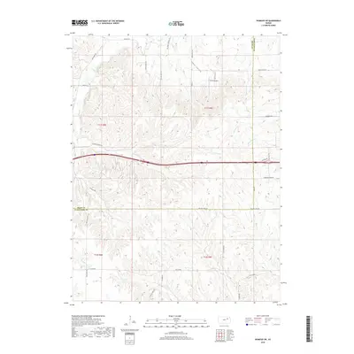
1953 Wamego SW
Riley County, KS
1955 Fort Riley NE
Riley County, KS
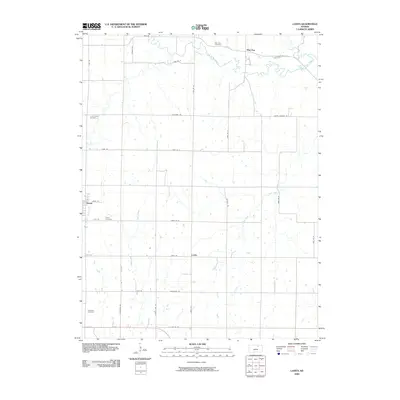
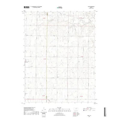
1963 Lasita
Riley County, KS
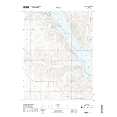
1964 Olsburg SW
Riley County, KS
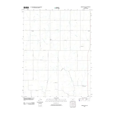
1968 Greenleaf SE
Riley County, KS
1982 Fort Riley NE
Riley County, KS
1992 Fort Riley NE
Riley County, KS
2009 Fort Riley NE
Riley County, KS
2009 Greenleaf SE
Riley County, KS
2009 Lasita
Riley County, KS
2009 Olsburg SW
Riley County, KS
2009 Wamego SW
Riley County, KS
2012 Fort Riley NE
Riley County, KS
2012 Greenleaf SE
Riley County, KS
2012 Lasita
Riley County, KS
2012 Olsburg SW
Riley County, KS
2012 Wamego SW
Riley County, KS
2015 Greenleaf SE
Riley County, KS
2015 Lasita
Riley County, KS
2015 Olsburg SW
Riley County, KS
2015 Wamego SW
Riley County, KS
2016 Fort Riley NE
Riley County, KS
2018 Fort Riley NE
Riley County, KS
2018 Greenleaf SE
Riley County, KS
2018 Lasita
Riley County, KS
2018 Olsburg SW
Riley County, KS
2018 Wamego SW
Riley County, KS
2022 Fort Riley NE
Riley County, KS
2022 Greenleaf SE
Riley County, KS
2022 Lasita
Riley County, KS
2022 Olsburg SW
Riley County, KS
2022 Wamego SW
Riley County, KS