
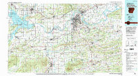
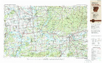
1978 Map of Fort Smith
USGS Topo · Published 1979This historical map portrays the area of Fort Smith in 1978, primarily covering Sebastian County as well as portions of Oklahoma. Featuring a scale of 1:100000, this map provides a highly detailed snapshot of the terrain, roads, buildings, counties, and historical landmarks in the Fort Smith region at the time. Published in 1979, it is one of 2 known editions of this map due to revisions or reprints.
Find a feature on this map
73 named features on this map. Tap any name to fly to it.
Don’t see what you’re looking for? This feature index may not catch every label — zoom into the map to look around manually.
Map Details
Editions of this 1978 Fort Smith Map
2 editions found
Historical Maps of Arkola Through Time
13 maps found

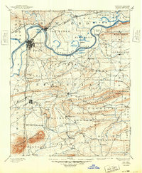
1879 Fort Smith
Sebastian County, AR
1890 Fort Smith
Sebastian County, AR

1943 Fort Smith
Sebastian County, AR

1946 Fort Smith
Sebastian County, AR
1947 Fort Smith
Sebastian County, AR
1951 Fort Smith
Sebastian County, AR

1965 Fort Smith
Sebastian County, AR

1967 Fort Smith
Sebastian County, AR

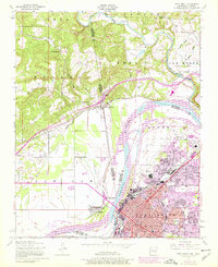
1976 Fort Smith
Sebastian County, AR
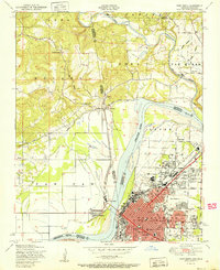
1978 Fort Smith
Sebastian County, AR
1978 Fort Smith
Sebastian County, AR
1987 Fort Smith
Sebastian County, AR
1997 Fort Smith
Sebastian County, AR