2025 Map of Fort Walton Beach
USGS Topo · Published 2025About this map
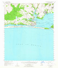
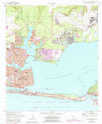
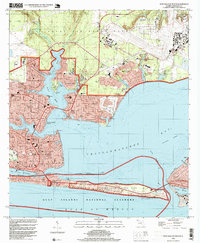
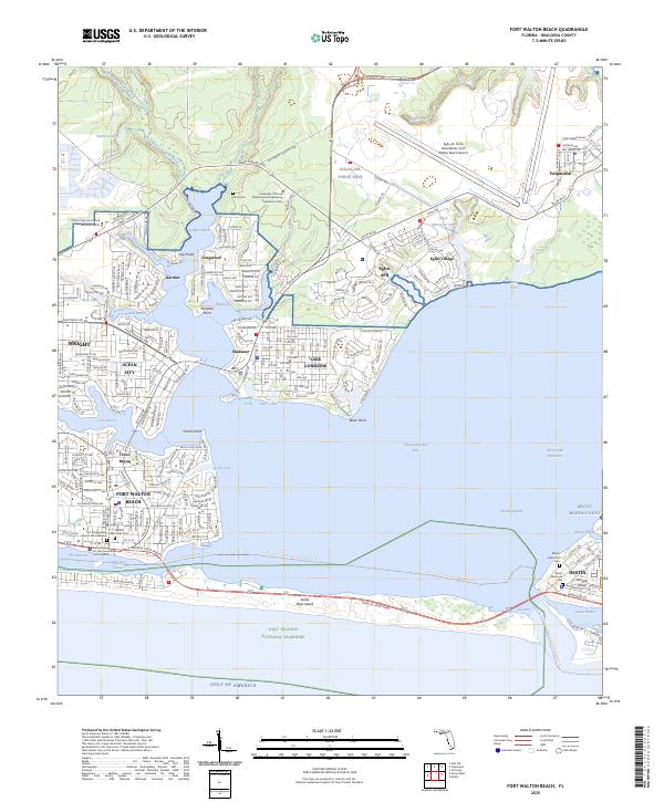
Eglin Air Force Base dominates the northern reaches of this coastal map, its infrastructure bordering the bayous and inlets that define the region's geography. The shoreline of Choctawhatchee Bay is deeply indented by waterways such as Garnier Bayou and Cinco Bayou, where communities like Shalimar and Lake Lorraine have developed along the waterfront. To the south, the barrier of Santa Rosa Island separates the Santa Rosa Sound from the open Gulf of Mexico, preserved in part as the Gulf Islands National Seashore. For those researching local lineages, the map identifies several significant burial sites, including the Davis Cem near the university facility and the Brooks Memorial Cem in Fort Walton Beach, providing specific points for genealogical verification within these densely populated coastal corridors.
Find a feature on this map
65 named features on this map. Tap any name to fly to it.
Don’t see what you’re looking for? This feature index may not catch every label — zoom into the map to look around manually.
Map Details
Editions of this 2025 Fort Walton Beach Map
This is the sole edition of this map. No revisions or reprints were ever made.
Historical Maps of Okaloosa County Through Time
5 maps found