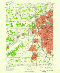
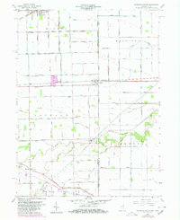
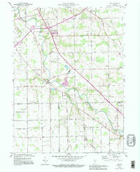
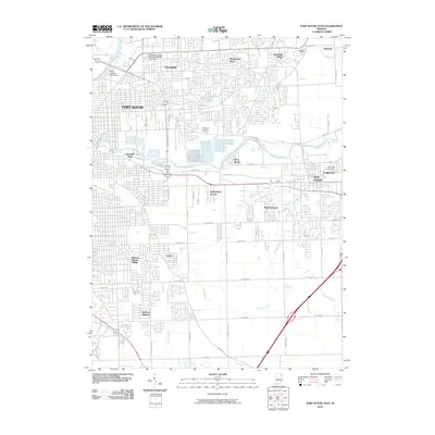
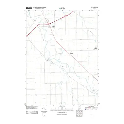
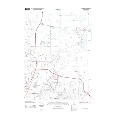
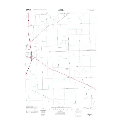
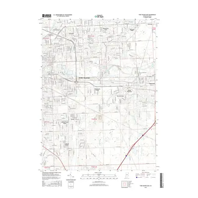
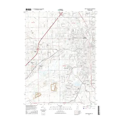
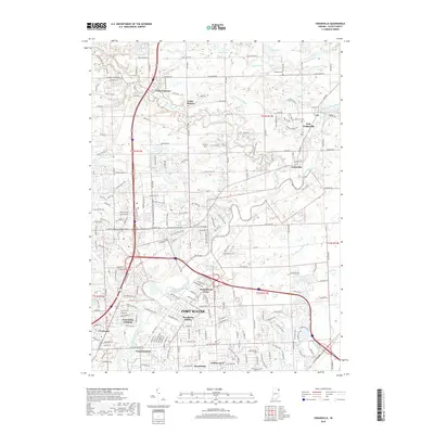
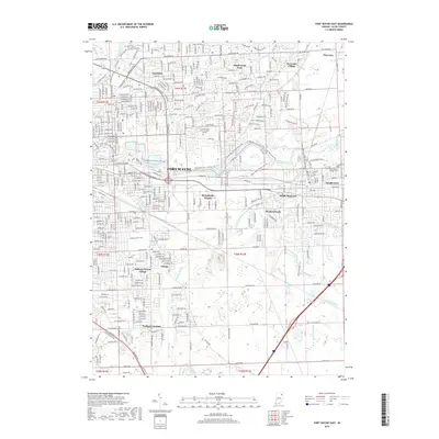
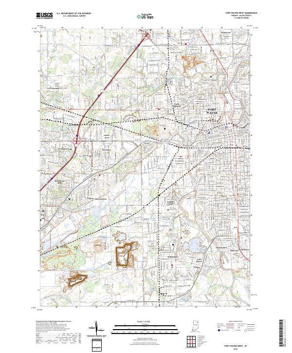
1956 Map of Fort Wayne West
USGS Topo · Published 1958About this map
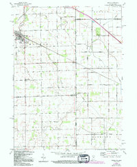
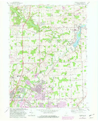
The confluence of the St Joseph River and St Marys River to form the Maumee River serves as the focal point for this mid-1950s survey of Fort Wayne. The urban footprint extends westward into townships like Washington and Wayne, revealing a dense network of civic and religious institutions such as St Vincents Orphan Home and St Francis College. Residential expansion is evident in the burgeoning neighborhoods of Waynedale and Indian Village, while the city's industrial and logistical foundations are highlighted by the major rail lines of the Pennsylvania and Wabash railroads.
Find a feature on this map
110 named features on this map. Tap any name to fly to it.
Don’t see what you’re looking for? This feature index may not catch every label — zoom into the map to look around manually.
Map Details
Editions of this 1956 Fort Wayne West Map
This is the sole edition of this map. No revisions or reprints were ever made.
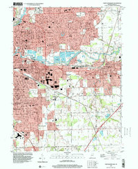
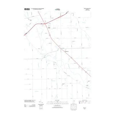
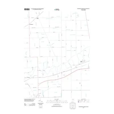
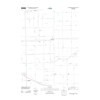
Historical Maps of Fort Wayne Through Time
62 maps found

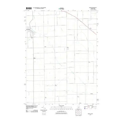
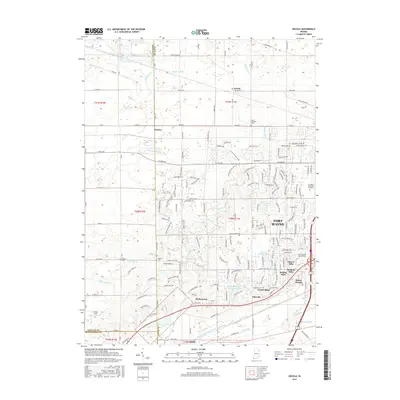
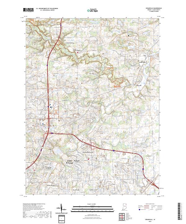
1956 Cedarville
Allen County, IN
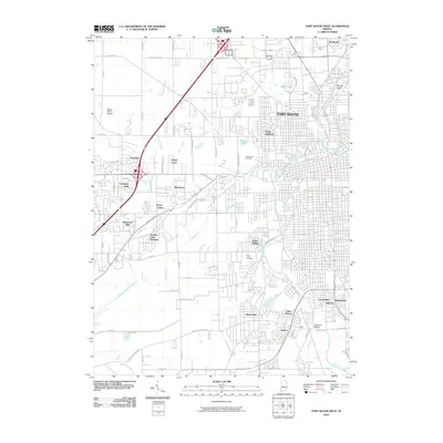
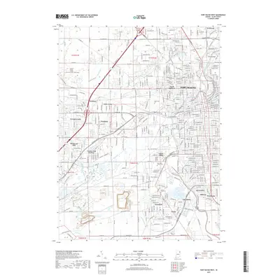
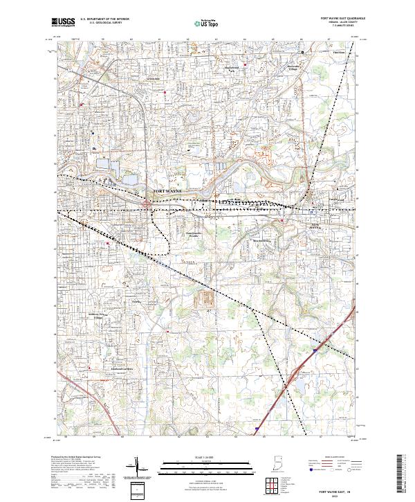
1956 Fort Wayne East
Allen County, IN
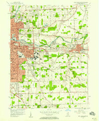
1956 Fort Wayne West
Allen County, IN
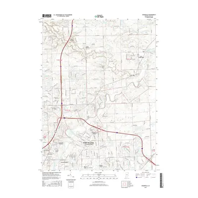
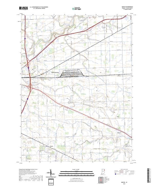
1957 Maples
Allen County, IN
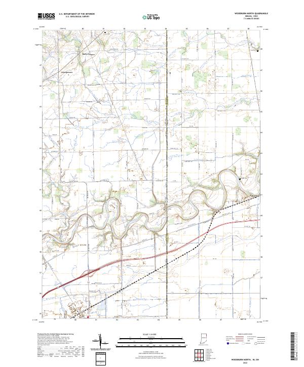
1958 Woodburn North
Allen County, IN
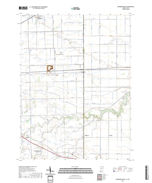
1958 Woodburn South
Allen County, IN
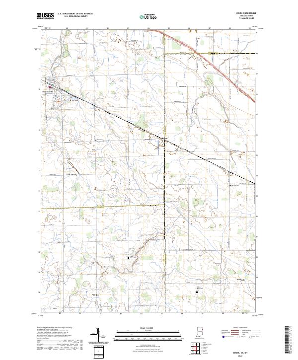
1960 Dixon
Allen County, IN
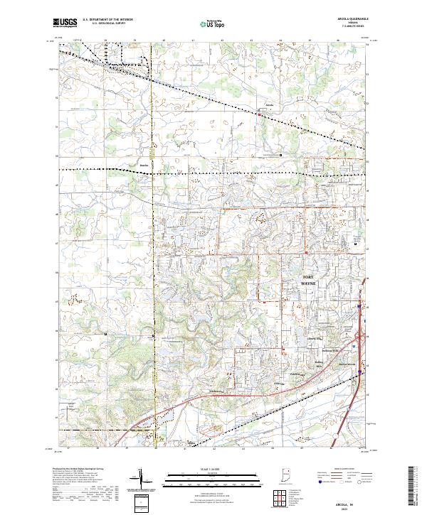
1961 Arcola
Allen County, IN
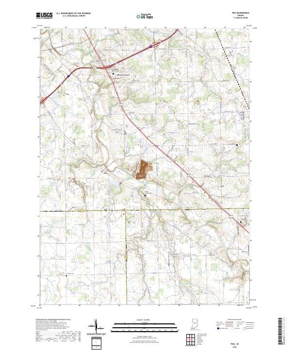
1962 Poe
Allen County, IN
1963 Cedarville
Allen County, IN
1963 Fort Wayne East
Allen County, IN
1963 Fort Wayne West
Allen County, IN
1992 Maples
Allen County, IN

1992 Woodburn South
Allen County, IN
1994 Poe
Allen County, IN
1998 Fort Wayne East
Allen County, IN

1998 Fort Wayne West
Allen County, IN
2010 Arcola
Allen County, IN
2010 Cedarville
Allen County, IN
2010 Dixon
Allen County, IN
2010 Fort Wayne East
Allen County, IN
2010 Fort Wayne West
Allen County, IN
2010 Maples
Allen County, IN
2010 Poe
Allen County, IN
2010 Woodburn North
Allen County, IN
2010 Woodburn South
Allen County, IN
2013 Arcola
Allen County, IN
2013 Cedarville
Allen County, IN
2013 Dixon
Allen County, IN
2013 Fort Wayne East
Allen County, IN
2013 Fort Wayne West
Allen County, IN
2013 Maples
Allen County, IN
2013 Poe
Allen County, IN
2013 Woodburn North
Allen County, IN
2013 Woodburn South
Allen County, IN
2016 Arcola
Allen County, IN
2016 Cedarville
Allen County, IN
2016 Dixon
Allen County, IN
2016 Fort Wayne East
Allen County, IN
2016 Fort Wayne West
Allen County, IN
2016 Maples
Allen County, IN
2016 Poe
Allen County, IN
2016 Woodburn North
Allen County, IN
2016 Woodburn South
Allen County, IN
2019 Arcola
Allen County, IN
2019 Cedarville
Allen County, IN
2019 Dixon
Allen County, IN
2019 Fort Wayne East
Allen County, IN
2019 Fort Wayne West
Allen County, IN
2019 Maples
Allen County, IN
2019 Poe
Allen County, IN
2019 Woodburn North
Allen County, IN
2019 Woodburn South
Allen County, IN
2022 Cedarville
Allen County, IN
2022 Dixon
Allen County, IN
2022 Fort Wayne East
Allen County, IN
2022 Fort Wayne West
Allen County, IN
2022 Maples
Allen County, IN
2022 Poe
Allen County, IN
2022 Woodburn North
Allen County, IN
2022 Woodburn South
Allen County, IN
2023 Arcola
Allen County, IN
Featured Locations
- Ansley Acres, IN
- Fort Wayne, IN
- Indian Village, Fort Wayne
- Northcrest, Fort Wayne
- Westchester, Fort Wayne