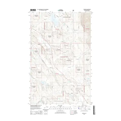
2014 Map of Fortine
USGS Topo · Published 2014About this map
Fortine and the nearby settlement of Tobacco anchor this corner of Lincoln County, where the landscape is defined by the complex drainage systems of the Kootenai National Forest. The map reveals a high concentration of named water bodies, including the substantial Glen Lake to the north and the winding Tobacco River. The settlement pattern follows the lower elevations along Us-93, with local history preserved at the Fortine Cem.
Find a feature on this map
86 named features on this map. Tap any name to fly to it.
Don’t see what you’re looking for? This feature index may not catch every label — zoom into the map to look around manually.
Map Details
Editions of this 2014 Fortine Map
This is the sole edition of this map. No revisions or reprints were ever made.
Other maps of this area

1913 · Stryker
USGS Topo · 1:125,000

1916 · Stryker
USGS Topo · 1:125,000

1957 · Kalispell
USGS Topo · 1:250,000

1960 · Kalispell
USGS Topo · 1:250,000

1961 · Kalispell
USGS Topo · 1:250,000

1963 · Eureka North
USGS Topo · 1:24,000

1963 · Mount Marston
USGS Topo · 1:24,000

1963 · Ksanka Peak
USGS Topo · 1:24,000

1963 · Eureka South
USGS Topo · 1:24,000

1963 · Stryker
USGS Topo · 1:24,000