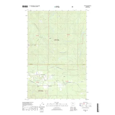
2020 Map of Fortson
USGS Topo · Published 2020About this map
The N Fork Stillaguamish River valley anchors this mountain landscape at the border of Skagit and Snohomish counties, where timber-influenced settlements like Fortson and White Horse line the corridor between high peaks. In the southern portion of the map, the Fortson Mill Pond and Fortson Ponds suggest the area's industrial past, while the nearby community of Swede Heaven reflects the region's cultural settlement history. To the north, the terrain climbs steeply toward Segelsen Ridge and Round Mountain, accessible by routes like the Segelsen Pass Snowmobile 18 and Nat For Dev RD 18. This survey shows how the developed river valley, home to the rural enclave of Barco, transitions abruptly into the protected wilderness of the Mount Baker National Forest, where features like Deer Creek Pass and Segelsen Lake remain largely isolated from the modern road network.
Find a feature on this map
45 named features on this map. Tap any name to fly to it.
Don’t see what you’re looking for? This feature index may not catch every label — zoom into the map to look around manually.
Map Details
Editions of this 2020 Fortson Map
This is the sole edition of this map. No revisions or reprints were ever made.
Other maps of this area

1899 · Stillaguamish
USGS Topo · 1:125,000

1901 · Stilaguamish
USGS Topo · 1:125,000

1955 · Concrete
USGS Topo · 1:250,000

1956 · Oso
USGS Topo · 1:62,500

1956 · Granite Falls
USGS Topo · 1:62,500

1957 · Silverton
USGS Topo · 1:62,500

1958 · Concrete
USGS Topo · 1:250,000

1962 · Concrete
USGS Topo · 1:250,000
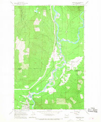
1966 · Darrington
USGS Topo · 1:24,000
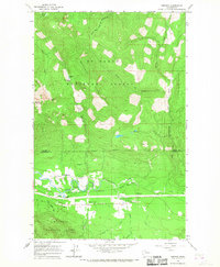
1966 · Fortson
USGS Topo · 1:24,000