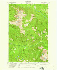
1957 Map of Silverton
USGS Topo · Published 1959About this map
The Sauk River and its upper tributaries carve through this high mountain wilderness within the Mt Baker National Forest and Snoqualmie National Forest. In the late 1950s, the area reflects a transition from extractive industry to public recreation. The legacy of prospecting is visible at the St Louis Mine and Bonanza Queen Mine, while the growth of outdoor youth and community programs is anchored by Camp Silverton-Waldheim and the Wiley Cr Camp (BSA).
Find a feature on this map
118 named features on this map. Tap any name to fly to it.
Don’t see what you’re looking for? This feature index may not catch every label — zoom into the map to look around manually.
Map Details
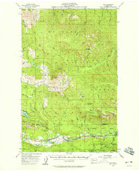
Editions of this 1957 Silverton Map
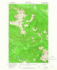

Other maps of this area

1899 · Glacier Peak
USGS Topo · 1:125,000

1899 · Stillaguamish
USGS Topo · 1:125,000

1901 · Glacier Peak
USGS Topo · 1:125,000

1901 · Stilaguamish
USGS Topo · 1:125,000

1902 · Skykomish
USGS Topo · 1:125,000

1905 · Skykomish
USGS Topo · 1:125,000

1921 · Sultan
USGS Topo · 1:125,000

1923 · Sultan
USGS Topo · 1:125,000

1955 · Concrete
USGS Topo · 1:250,000
1956 · Oso
USGS Topo · 1:62,500