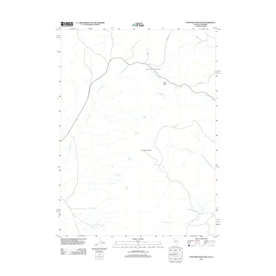
2011 Map of Fortynine Mountain
USGS Topo · Published 2011About this map
Fortynine Ranch and the nearby Fortynine Camp serve as the primary human touchpoints in this arid corner of Washoe County. The landscape is defined by the massive profile of Fortynine Mountain, where numerous water sources including Willow Spring and Cottonwood Spring emerge from the slopes to feed drainage systems like Fortynine Creek.
Find a feature on this map
20 named features on this map. Tap any name to fly to it.
Don’t see what you’re looking for? This feature index may not catch every label — zoom into the map to look around manually.
Map Details
Editions of this 2011 Fortynine Mountain Map
This is the sole edition of this map. No revisions or reprints were ever made.
Other maps of this area

1886 · Alturas
USGS Topo · 1:250,000

1889 · Long Valley
USGS Topo · 1:250,000

1892 · Alturas
USGS Topo · 1:250,000

1954 · Vya
USGS Topo · 1:250,000

1954 · Alturas
USGS Topo · 1:250,000

1958 · Alturas
USGS Topo · 1:250,000

1958 · Vya
USGS Topo · 1:250,000

1962 · Alturas
USGS Topo · 1:250,000

1962 · Vya
USGS Topo · 1:250,000

1962 · Cedarville
USGS Topo · 1:62,500