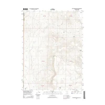
2015 Map of Fortynine Mountain
USGS Topo · Published 2015About this map
Applegate Trl marks the historic trajectory of westward migration through this high-desert landscape on the border of Nevada and California. The terrain is dominated by the Hays Canyon Range and the prominent summit of Fortynine Mtn, which overlooks the descent into Surprise Valley to the west. This 2015 record shows a reliance on scattered water sources such as Quaking Asp Spring, Sagebrush Spring, and Willow Spring, which are critical in this arid environment. The map also traces the drainage patterns of Fortynine Cr and Secret Cr, along with the steep transitions of Fortynine Canyon and North Bar Canyon. Roadways like CR-8a and Dugway Rd follow the natural contours of the basin and range province, providing access to remote corners of Washoe Co.
Find a feature on this map
29 named features on this map. Tap any name to fly to it.
Don’t see what you’re looking for? This feature index may not catch every label — zoom into the map to look around manually.
Map Details
Editions of this 2015 Fortynine Mountain Map
This is the sole edition of this map. No revisions or reprints were ever made.
Other maps of this area

1886 · Alturas
USGS Topo · 1:250,000

1889 · Long Valley
USGS Topo · 1:250,000

1892 · Alturas
USGS Topo · 1:250,000

1954 · Vya
USGS Topo · 1:250,000

1954 · Alturas
USGS Topo · 1:250,000

1958 · Alturas
USGS Topo · 1:250,000

1958 · Vya
USGS Topo · 1:250,000

1962 · Alturas
USGS Topo · 1:250,000

1962 · Vya
USGS Topo · 1:250,000

1962 · Cedarville
USGS Topo · 1:62,500