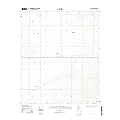
2013 Map of Foster Well
USGS Topo · Published 2013About this map
Jornada del Muerto defines the vast, arid character of this 2013 survey in Socorro County. The landscape is marked by the infrastructure of high-desert ranching and modern military boundaries, showing isolated water sources like Bole Russell Tank, Lewis Tank, and the eponymous Foster Well in the northeastern corner. The presence of the Arrieta Ranch suggests the enduring agricultural use of this desert basin, even as it interfaces with the specialized transit corridors of WSMR P Route 7 and WSMR P Route 20. This document provides a clear view of the water-dependent settlement patterns necessary to survive in one of New Mexico's most famously challenging environments during the early 21st century.
Find a feature on this map
11 named features on this map. Tap any name to fly to it.
Don’t see what you’re looking for? This feature index may not catch every label — zoom into the map to look around manually.
Map Details
Editions of this 2013 Foster Well Map
This is the sole edition of this map. No revisions or reprints were ever made.
Other maps of this area

1916 · Salinas Peak
USGS Topo · 1:125,000

1916 · Tularosa
USGS Topo · 1:125,000

1918 · Oscura Peak
USGS Topo · 1:125,000

1947 · Capitol Peak
USGS Topo · 1:62,500

1948 · Granjean Well
USGS Topo · 1:62,500

1948 · Mockingbird Gap
USGS Topo · 1:62,500

1948 · Salinas Peak
USGS Topo · 1:62,500

1954 · Tularosa
USGS Topo · 1:250,000

1958 · Tularosa
USGS Topo · 1:250,000

1981 · Fairview Mountain
USGS Topo · 1:24,000