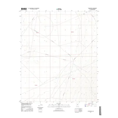
2017 Map of Foster Well
USGS Topo · Published 2017About this map
Foster Well and Lewis Tank provide the only named water sources in this arid stretch of Socorro County. The landscape is defined by the White Sands Missile Range (WSMR) infrastructure, featuring a sparse network of service roads including WSMR P Route 20 and WSMR S Route 342. The topography is marked by significant elevation changes, particularly in the eastern sections where the terrain rises toward the mountains, as indicated by the tight contour lines. The layout of the township and range lines, such as t8s r4e, underscores the systematic surveying of this military-managed desert environment. This map captures the intersection of government land management and the natural hydrology of the Tularosa Basin during the early twenty-first century.
Find a feature on this map
11 named features on this map. Tap any name to fly to it.
Don’t see what you’re looking for? This feature index may not catch every label — zoom into the map to look around manually.
Map Details
Editions of this 2017 Foster Well Map
This is the sole edition of this map. No revisions or reprints were ever made.
Other maps of this area

1916 · Salinas Peak
USGS Topo · 1:125,000

1916 · Tularosa
USGS Topo · 1:125,000

1918 · Oscura Peak
USGS Topo · 1:125,000

1947 · Capitol Peak
USGS Topo · 1:62,500

1948 · Granjean Well
USGS Topo · 1:62,500

1948 · Mockingbird Gap
USGS Topo · 1:62,500

1948 · Salinas Peak
USGS Topo · 1:62,500

1954 · Tularosa
USGS Topo · 1:250,000

1958 · Tularosa
USGS Topo · 1:250,000

1981 · Fairview Mountain
USGS Topo · 1:24,000