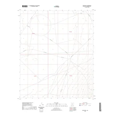
2020 Map of Foster Well
USGS Topo · Published 2020About this map
Foster Well sits in the high desert of Socorro County, a quiet landmark in a landscape defined by water scarcity and military infrastructure. This arid terrain is segmented by a network of White Sands Missile Range access roads, including WSMR P Route 20 and WSMR S Route 342, which crisscross the open basin. To the south, Lewis Tank provides another rare point of named hydrography in a region where elevation changes are marked by subtle contour lines. The map reveals the strictly organized nature of this government-managed land, where section lines of t8s r3e and t9s r4e dictate the spatial arrangement of the few developed features. The orientation of routes like WSMR P Route 26 suggests the movement patterns required for maintaining and navigating this expansive high-desert territory.
Find a feature on this map
11 named features on this map. Tap any name to fly to it.
Don’t see what you’re looking for? This feature index may not catch every label — zoom into the map to look around manually.
Map Details
Editions of this 2020 Foster Well Map
This is the sole edition of this map. No revisions or reprints were ever made.
Other maps of this area

1916 · Salinas Peak
USGS Topo · 1:125,000

1916 · Tularosa
USGS Topo · 1:125,000

1918 · Oscura Peak
USGS Topo · 1:125,000

1947 · Capitol Peak
USGS Topo · 1:62,500

1948 · Granjean Well
USGS Topo · 1:62,500

1948 · Mockingbird Gap
USGS Topo · 1:62,500

1948 · Salinas Peak
USGS Topo · 1:62,500

1954 · Tularosa
USGS Topo · 1:250,000

1958 · Tularosa
USGS Topo · 1:250,000

1981 · Fairview Mountain
USGS Topo · 1:24,000