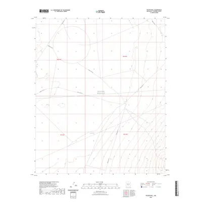
2023 Map of Foster Well
USGS Topo · Published 2023About this map
White Sands Missile Range occupies the vast majority of this Socorro County landscape, illustrating the restricted military geography of central New Mexico. The terrain is defined by a series of access roads and tracks, including WSMR S Route 342 and WSMR P Route 26, which cut across the high desert flats and sloping foothills. Such routes underscore the region's primary use for government testing and maneuvers rather than civilian settlement. Water sources are scarce in this arid environment, with Lewis Tank serving as a solitary named hydraulic feature. The map provides a clear look at the township and range survey system, specifically within t8s r3e, t8s r4e, t9s r3e, and t9s r4e, which organizes this remote territory used by the Department of Defense.
Find a feature on this map
12 named features on this map. Tap any name to fly to it.
Don’t see what you’re looking for? This feature index may not catch every label — zoom into the map to look around manually.
Map Details
Editions of this 2023 Foster Well Map
This is the sole edition of this map. No revisions or reprints were ever made.
Other maps of this area

1916 · Salinas Peak
USGS Topo · 1:125,000

1916 · Tularosa
USGS Topo · 1:125,000

1918 · Oscura Peak
USGS Topo · 1:125,000

1947 · Capitol Peak
USGS Topo · 1:62,500

1948 · Granjean Well
USGS Topo · 1:62,500

1948 · Mockingbird Gap
USGS Topo · 1:62,500

1948 · Salinas Peak
USGS Topo · 1:62,500

1954 · Tularosa
USGS Topo · 1:250,000

1958 · Tularosa
USGS Topo · 1:250,000

1981 · Fairview Mountain
USGS Topo · 1:24,000