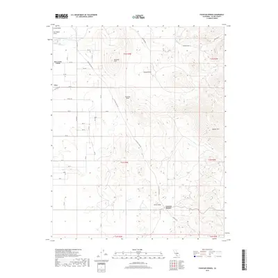
2018 Map of Fountain Springs
USGS Topo · Published 2018About this map
Fountain Springs and the eastern fringes of the San Joaquin Valley define this landscape where the flatlands meet the rising foothills of Tulare County. The 2018 survey illustrates a complex infrastructure of gridded agricultural avenues, such as Ave 100 and Terra Bella Ave, supporting established areas like Deer Creek Colony and Ultra. These irrigation-dependent settlements contrast with the rising topography to the east, marked by landmarks like Tennessee Ridge and Tennessee Knob.
Find a feature on this map
48 named features on this map. Tap any name to fly to it.
Don’t see what you’re looking for? This feature index may not catch every label — zoom into the map to look around manually.
Map Details
Editions of this 2018 Fountain Springs Map
This is the sole edition of this map. No revisions or reprints were ever made.
Other maps of this area

1904 · Kaweah
USGS Topo · 1:125,000

1909 · Kaweah
USGS Topo · 1:125,000

1926 · Quincy School
USGS Topo · 1:31,680

1929 · Richgrove
USGS Topo · 1:31,680

1929 · Porterville
USGS Topo · 1:31,680

1929 · Quincy School
USGS Topo · 1:31,680

1929 · Ducor
USGS Topo · 1:31,680

1936 · White River
USGS Topo · 1:62,500

1936 · Tobias Peak
USGS Topo · 1:125,000

1937 · Kaweah
USGS Topo · 1:125,000