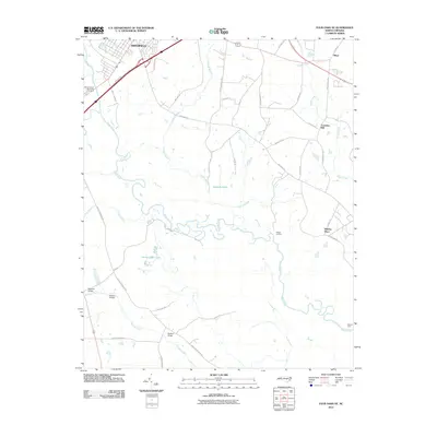
2010 Map of Four Oaks NE
USGS Topo · Published 2010About this map
The Neuse River meanders through this portion of Johnston County, defining a landscape shaped by water and longstanding family landholdings. Small settlements and named locales like Whitley Place and Creeches Mill reflect the area's deep-rooted agricultural and milling history. The river itself serves as the primary geographical anchor, creating the distinct bend at Quaker Neck and supporting several river-crossing points, including the historic Pierce's Ferry.
Find a feature on this map
45 named features on this map. Tap any name to fly to it.
Don’t see what you’re looking for? This feature index may not catch every label — zoom into the map to look around manually.
Map Details
Editions of this 2010 Four Oaks NE Map
This is the sole edition of this map. No revisions or reprints were ever made.
Other maps of this area

1902 · Kenly
USGS Topo · 1:62,500

1903 · Kenly
USGS Topo · 1:62,500

1906 · Four Oaks
USGS Topo · 1:48,000

1908 · Four Oaks
USGS Topo · 1:62,500

1953 · Raleigh
USGS Topo · 1:250,000

1954 · Raleigh
USGS Topo · 1:250,000

1964 · Selma
USGS Topo · 1:62,500

1964 · Powhatan
USGS Topo · 1:24,000

1964 · Selma
USGS Topo · 1:24,000

1974 · Grantham
USGS Topo · 1:24,000