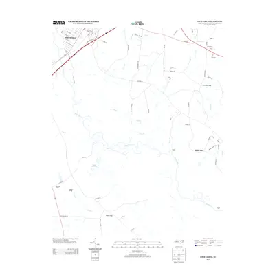
2013 Map of Four Oaks NE
USGS Topo · Published 2013About this map
The Neuse River winds through this Johnston County landscape, defining the character of the region as it transitions from the city streets of Smithfield into the rural stretches to the northeast. Settlement patterns follow the river's path and its various tributaries, such as Polecat Br and Hannah Cr. Notable for local history researchers are the numerous crossings and water-dependent landmarks that once facilitated movement and commerce, including Barefoot Bridge, Rhodes Bridge, Sanders Bridge, and Pierce's Ferry.
Find a feature on this map
79 named features on this map. Tap any name to fly to it.
Don’t see what you’re looking for? This feature index may not catch every label — zoom into the map to look around manually.
Map Details
Editions of this 2013 Four Oaks NE Map
This is the sole edition of this map. No revisions or reprints were ever made.
Other maps of this area

1902 · Kenly
USGS Topo · 1:62,500

1903 · Kenly
USGS Topo · 1:62,500

1906 · Four Oaks
USGS Topo · 1:48,000

1908 · Four Oaks
USGS Topo · 1:62,500

1953 · Raleigh
USGS Topo · 1:250,000

1954 · Raleigh
USGS Topo · 1:250,000

1964 · Selma
USGS Topo · 1:62,500

1964 · Powhatan
USGS Topo · 1:24,000

1964 · Selma
USGS Topo · 1:24,000

1974 · Grantham
USGS Topo · 1:24,000