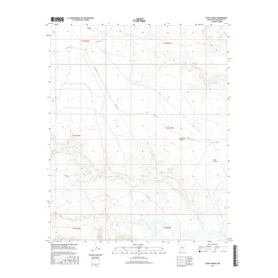
2017 Map of Four V Ranch
USGS Topo · Published 2017About this map
Four V Ranch stands as a primary landmark in this ranching landscape of northeastern New Mexico, where the high plains meet the intricate drainage systems of the Canadian River basin. The terrain is deeply incised by multiple canyons, including Jose Maria Canyon, Boot Canyon, and Four V Canyon, which channel seasonal runoff toward the more substantial water bodies to the south. The hydrological network is defined by the winding paths of Trementina Creek and the Conchas River, eventually feeding into the northern reaches of Conchas Lake. This 2017 survey illustrates the persistent isolation and low-density land use of the region, where a sparse network of county roads such as Co RD C-57-B provides the only access across the expansive township and range divisions of San Miguel County.
Find a feature on this map
18 named features on this map. Tap any name to fly to it.
Don’t see what you’re looking for? This feature index may not catch every label — zoom into the map to look around manually.
Map Details
Editions of this 2017 Four V Ranch Map
This is the sole edition of this map. No revisions or reprints were ever made.
Other maps of this area

1954 · Santa Fe
USGS Topo · 1:250,000

1958 · Santa Fe
USGS Topo · 1:250,000

1967 · Tenaja Mesa
USGS Topo · 1:24,000

1968 · Conchas Dam
USGS Topo · 1:24,000

1972 · Variadero
USGS Topo · 1:24,000

1972 · Four V Ranch
USGS Topo · 1:24,000

1972 · La Silla
USGS Topo · 1:24,000
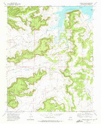
1972 · Bookout Ranch
USGS Topo · 1:24,000
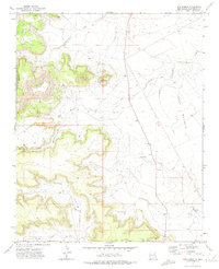
1972 · San Ramon
USGS Topo · 1:24,000

1972 · Wade Canyon
USGS Topo · 1:24,000