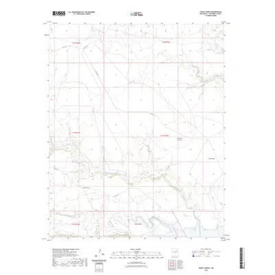
2023 Map of Four V Ranch
USGS Topo · Published 2023About this map
Trementina Creek and the Conchas River converge in this high-plains landscape of eastern San Miguel County, where the terrain is deeply incised by erosion. The waterway of Trementina Creek snakes across the center of the sheet, carving a winding path that separates the northern uplands from the southern river basin. Topographic variations are most pronounced at Jose Maria Canyon and Boot Canyon, where the elevation drops sharply toward the drainage floors. While the area remains largely undeveloped, the network of local routes including Trementina Rd and Co Rd C-56-C provides access to the ranch lands. The map illustrates a strictly rural economy where seasonal water flow and geographic depressions dictate the movement and layout of the few established county roads.
Find a feature on this map
15 named features on this map. Tap any name to fly to it.
Don’t see what you’re looking for? This feature index may not catch every label — zoom into the map to look around manually.
Map Details
Editions of this 2023 Four V Ranch Map
This is the sole edition of this map. No revisions or reprints were ever made.
Other maps of this area

1954 · Santa Fe
USGS Topo · 1:250,000

1958 · Santa Fe
USGS Topo · 1:250,000

1967 · Tenaja Mesa
USGS Topo · 1:24,000

1968 · Conchas Dam
USGS Topo · 1:24,000

1972 · Variadero
USGS Topo · 1:24,000

1972 · Four V Ranch
USGS Topo · 1:24,000

1972 · La Silla
USGS Topo · 1:24,000
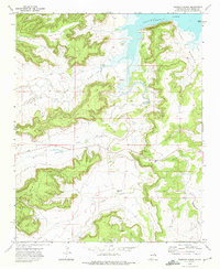
1972 · Bookout Ranch
USGS Topo · 1:24,000
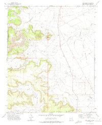
1972 · San Ramon
USGS Topo · 1:24,000

1972 · Wade Canyon
USGS Topo · 1:24,000