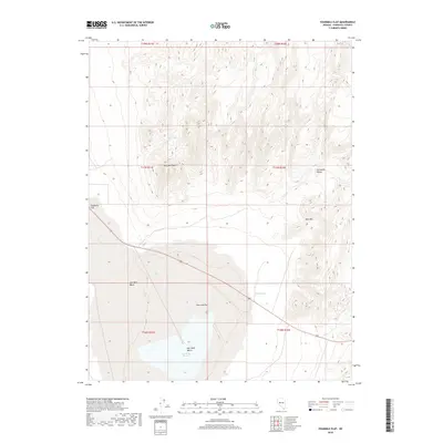
2018 Map of Fourmile Flat
USGS Topo · Published 2018About this map
Sand Mtn rises as a prominent landmark in the high desert of Churchill County, punctuating a landscape defined by expansive salt flats and seasonal water sources. The transition from the elevations of the Stillwater Range, including the distinct Pony Bob Peak, down to the level expanse of Fourmile Flat reveals the stark hydrography of the Great Basin. Water features like Tunnel Spring and Sand Springs provide critical points of interest in this arid environment, while the presence of Salt Wells Marsh and Salt Cr indicates the drainage patterns that feed into the lower Salt Wells Basin. This 2018 survey provides an exact look at the natural topography and primitive road networks crossing these basins just east of Eightmile Flat.
Find a feature on this map
16 named features on this map. Tap any name to fly to it.
Don’t see what you’re looking for? This feature index may not catch every label — zoom into the map to look around manually.
Map Details
Editions of this 2018 Fourmile Flat Map
This is the sole edition of this map. No revisions or reprints were ever made.
Other maps of this area

1908 · Carson Sink
USGS Topo · 1:250,000

1910 · Carson Sink
USGS Topo · 1:250,000

1951 · Carson Lake
USGS Topo · 1:62,500

1951 · Allen Springs
USGS Topo · 1:62,500

1957 · Reno
USGS Topo · 1:250,000

1959 · Reno
USGS Topo · 1:250,000

1960 · Reno
USGS Topo · 1:250,000

1972 · Fourmile Flat
USGS Topo · 1:24,000

1972 · Diamond Canyon
USGS Topo · 1:24,000
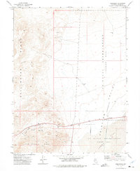
1972 · Frenchman
USGS Topo · 1:24,000