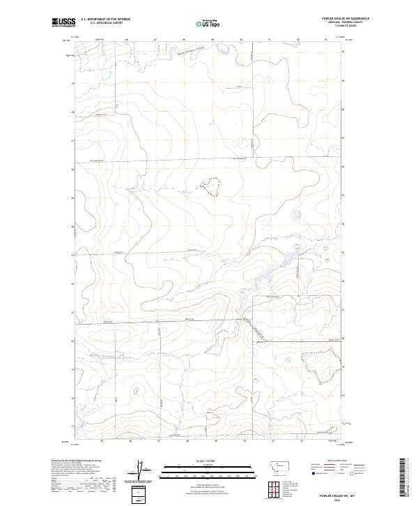
2024 Map of Fowler Coulee SW
USGS Topo · Published 2024About this map
South Pondera Coulee and Rocky Coulee carve distinct drainage patterns across this Pondera County landscape, reflecting the agricultural and topographical layout of contemporary north-central Montana. The map reveals a systematic grid of rural transit corridors, including family-named routes such as Hog Johnson Rd, Berland Loop, and Armstrong Rd. These roads delineate the section lines of the Public Land Survey System, specifically within Townships 26 and 27 North. The presence of Snake Creek and several unnamed small wetlands suggests a reliance on natural water drainage for the surrounding ranching and farming operations. This modern survey is an essential tool for those tracing property boundaries or identifying specific rural access points like Cascaden and Ripple Lake Rd in the vast prairie stretches between local coulees.
Find a feature on this map
23 named features on this map. Tap any name to fly to it.
Don’t see what you’re looking for? This feature index may not catch every label — zoom into the map to look around manually.
Map Details
Editions of this 2024 Fowler Coulee SW Map
This is the sole edition of this map. No revisions or reprints were ever made.
Other maps of this area

1886 · Great Falls
USGS Topo · 1:250,000

1920 · Conrad
USGS Topo · 1:125,000

1950 · Dutton
USGS Topo · 1:62,500

1950 · Collins
USGS Topo · 1:62,500

1954 · Great Falls
USGS Topo · 1:250,000

1954 · Shelby
USGS Topo · 1:250,000

1957 · Great Falls
USGS Topo · 1:250,000

1958 · Shelby
USGS Topo · 1:250,000

1967 · Brady
USGS Topo · 1:24,000

1967 · Fowler Coulee SW
USGS Topo · 1:24,000