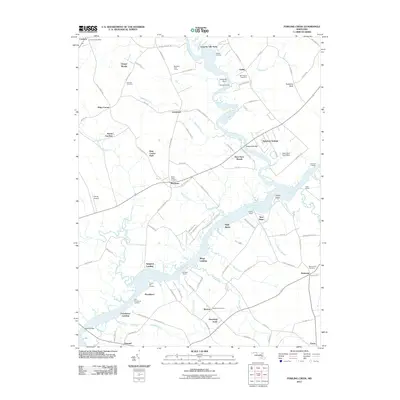
2011 Map of Fowling Creek
USGS Topo · Published 2011About this map
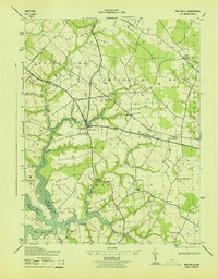
Tuckahoe Creek and the Choptank River define the intricate shoreline of this Eastern Shore landscape, where water-access points like Wings Landing, Providence Landing, and Ganey Wharf signify a long-standing maritime economy. The map reveals a transition from traditional riverside settlements like Kingston Landing and Lewistown to modern residential developments such as Country Life Acres and Meadow View Farms.
Find a feature on this map
108 named features on this map. Tap any name to fly to it.
Don’t see what you’re looking for? This feature index may not catch every label — zoom into the map to look around manually.
Map Details
Editions of this 2011 Fowling Creek Map
This is the sole edition of this map. No revisions or reprints were ever made.
Other maps of this area

1898 · Choptank
USGS Topo · 1:125,000

1904 · St. Michaels
USGS Topo · 1:62,500

1904 · Oxford
USGS Topo · 1:62,500

1905 · Denton
USGS Topo · 1:62,500

1905 · Hurlock
USGS Topo · 1:62,500

1908 · Choptank
USGS Topo · 1:125,000
1942 · Easton
USGS Topo · 1:24,000
1942 · Wye Mills
USGS Topo · 1:24,000
1942 · Trappe
USGS Topo · 1:24,000
1943 · Wye Mills
USGS Topo · 1:31,680