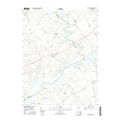
2017 Map of Fowling Creek
USGS Topo · Published 2017About this map
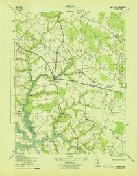
The Choptank River serves as a natural boundary between Talbot and Caroline counties, carving a wide path through this agricultural landscape. The region is characterized by established rural communities such as Matthews, Providence, and Harmony, which are linked by a network of creeks and small runs. These watercourses, including Tuckahoe Creek and Fowling Creek, historically influenced the placement of early landings and bridges. Notable crossings like the Dover Bridge and Tuckahoe Bridge connect these riverside settlements.
Find a feature on this map
112 named features on this map. Tap any name to fly to it.
Don’t see what you’re looking for? This feature index may not catch every label — zoom into the map to look around manually.
Map Details
Editions of this 2017 Fowling Creek Map
This is the sole edition of this map. No revisions or reprints were ever made.
Other maps of this area

1898 · Choptank
USGS Topo · 1:125,000

1904 · St. Michaels
USGS Topo · 1:62,500

1904 · Oxford
USGS Topo · 1:62,500

1905 · Denton
USGS Topo · 1:62,500

1905 · Hurlock
USGS Topo · 1:62,500

1908 · Choptank
USGS Topo · 1:125,000
1942 · Easton
USGS Topo · 1:24,000
1942 · Wye Mills
USGS Topo · 1:24,000
1942 · Trappe
USGS Topo · 1:24,000
1943 · Wye Mills
USGS Topo · 1:31,680