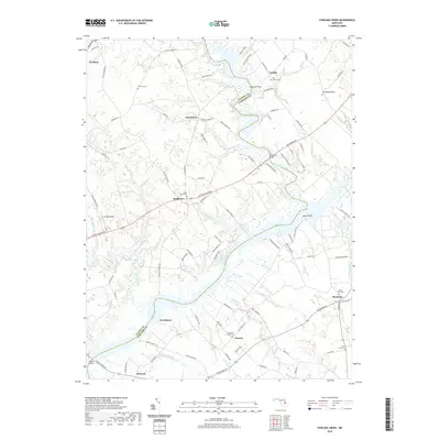
2019 Map of Fowling Creek
USGS Topo · Published 2019About this map
The Choptank River and Tuckahoe Creek define the low-lying Eastern Shore landscape where Talbot and Caroline counties meet. This modern survey illustrates the persistent rural character of the region, anchored by small settlements like Lewistown, Matthews, and Harmony. The map is particularly useful for genealogical research, identifying numerous family-associated burial grounds including Fairview Cem, Bell Chapel Cem, and Union Grove Cem.
Find a feature on this map
117 named features on this map. Tap any name to fly to it.
Don’t see what you’re looking for? This feature index may not catch every label — zoom into the map to look around manually.
Map Details
Editions of this 2019 Fowling Creek Map
This is the sole edition of this map. No revisions or reprints were ever made.
Other maps of this area

1898 · Choptank
USGS Topo · 1:125,000
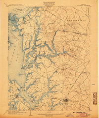
1904 · St. Michaels
USGS Topo · 1:62,500
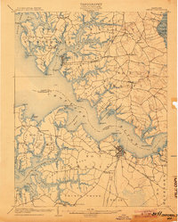
1904 · Oxford
USGS Topo · 1:62,500

1905 · Denton
USGS Topo · 1:62,500

1905 · Hurlock
USGS Topo · 1:62,500
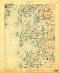
1908 · Choptank
USGS Topo · 1:125,000
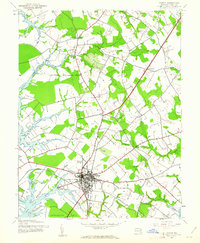
1942 · Easton
USGS Topo · 1:24,000
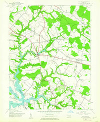
1942 · Wye Mills
USGS Topo · 1:24,000
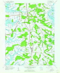
1942 · Trappe
USGS Topo · 1:24,000
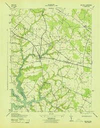
1943 · Wye Mills
USGS Topo · 1:31,680