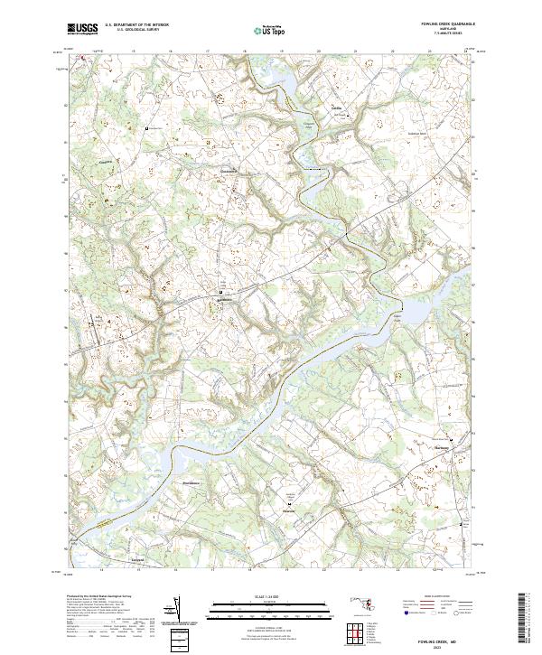
2023 Map of Fowling Creek
USGS Topo · Published 2023About this map
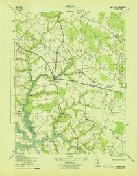
The Choptank River and its labyrinthine tributaries define the agricultural and tidal landscape of this Eastern Shore region along the border of Talbot and Caroline counties. Small settlements and crossroads like Cordova, Matthews, and Harmony are connected by a network of rural routes, reflecting a centuries-old pattern of land division and water-dependent commerce. The importance of the river system is evident in the numerous named points and landings, including Gilpin Point and Cowards Point, while the interior is marked by historic community anchors such as Bell Chapel and Smithson Chapel.
Find a feature on this map
103 named features on this map. Tap any name to fly to it.
Don’t see what you’re looking for? This feature index may not catch every label — zoom into the map to look around manually.
Map Details
Editions of this 2023 Fowling Creek Map
This is the sole edition of this map. No revisions or reprints were ever made.
Other maps of this area

1898 · Choptank
USGS Topo · 1:125,000

1904 · St. Michaels
USGS Topo · 1:62,500

1904 · Oxford
USGS Topo · 1:62,500

1905 · Denton
USGS Topo · 1:62,500

1905 · Hurlock
USGS Topo · 1:62,500

1908 · Choptank
USGS Topo · 1:125,000
1942 · Easton
USGS Topo · 1:24,000
1942 · Wye Mills
USGS Topo · 1:24,000
1942 · Trappe
USGS Topo · 1:24,000
1943 · Wye Mills
USGS Topo · 1:31,680