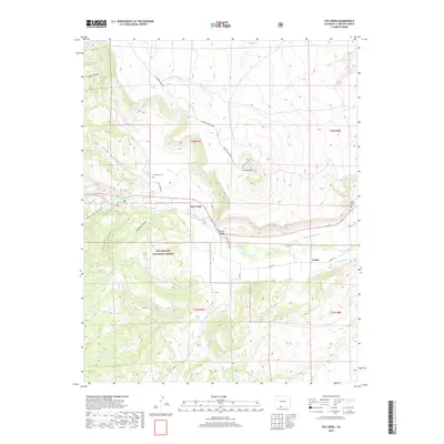
2019 Map of Fox Creek
USGS Topo · Published 2019About this map
The Conejos River valley serves as a primary corridor for settlement and irrigation in this high-altitude landscape of southern Colorado. Near the center of the map, the small community of Fox Creek is situated along the water, supported by the Las Mesitas Ditch and Cañon Ditch which trace the contours of the valley floor to manage the river's flow for agriculture. Local history is anchored by the Fox Creek Cem and Las Mesitas Cem, while the northern and southern reaches are defined by the rising peaks of Prospect Mountain and Los Mogotes. Much of the western terrain is protected within the Rio Grande National Forest, where deep incisions like Long Canyon and Conoboy Canyon cut through the volcanic geology of the San Luis Valley's western edge.
Find a feature on this map
28 named features on this map. Tap any name to fly to it.
Don’t see what you’re looking for? This feature index may not catch every label — zoom into the map to look around manually.
Map Details
Editions of this 2019 Fox Creek Map
This is the sole edition of this map. No revisions or reprints were ever made.
Other maps of this area

1918 · Tusas
USGS Topo · 1:125,000

1922 · Conejos
USGS Topo · 1:125,000

1945 · Durango
USGS Topo · 1:250,000

1953 · Durango
USGS Topo · 1:250,000

1954 · Durango
USGS Topo · 1:250,000

1954 · Aztec
USGS Topo · 1:250,000

1955 · Brazos Peak
USGS Topo · 1:62,500

1958 · Aztec
USGS Topo · 1:250,000

1961 · Durango
USGS Topo · 1:250,000

1962 · Aztec
USGS Topo · 1:250,000