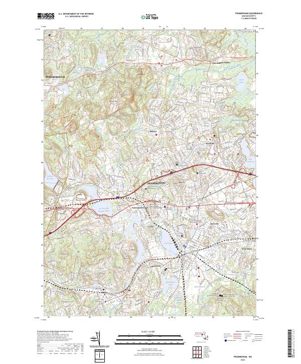
2024 Map of Framingham
USGS Topo · Published 2024About this map
Framingham is characterized by its complex network of water and early educational institutions at the heart of Middlesex County. The landscape is anchored by Framingham State University and the Mass Bay Community College Framingham Campus, while the Sudbury River winds through the region, connecting major water bodies like Farm Pond and Foss Reservoir (Number Three). This 2024 map documents a high density of historic burial grounds, including the Old Burying Ground Cem and the Edgell Grove Cem and Mausoleum, reflecting centuries of community history.
Find a feature on this map
80 named features on this map. Tap any name to fly to it.
Don’t see what you’re looking for? This feature index may not catch every label — zoom into the map to look around manually.
Map Details
Editions of this 2024 Framingham Map
This is the sole edition of this map. No revisions or reprints were ever made.
Other maps of this area

1886 · Blackstone
USGS Topo · 1:62,500

1886 · Framingham
USGS Topo · 1:62,500

1887 · Franklin
USGS Topo · 1:62,500

1887 · Marlboro
USGS Topo · 1:62,500

1889 · Marlboro
USGS Topo · 1:62,500

1889 · Blackstone
USGS Topo · 1:62,500

1889 · Franklin
USGS Topo · 1:62,500

1889 · Framingham
USGS Topo · 1:62,500

1893 · Franklin
USGS Topo · 1:62,500

1893 · Blackstone
USGS Topo · 1:62,500