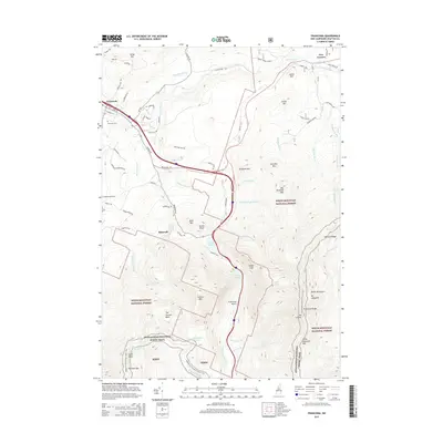
2015 Map of Franconia
USGS Topo · Published 2015About this map
Franconia Notch serves as the dramatic centerpiece of this 2015 study, where the Pemigewasset River and Profile Lake sit deep between the high peaks of Cannon Mtn and Mt Lafayette. The map documents a landscape defined by its world-class hiking and skiing infrastructure, including the Tramway Dr climbing the western slopes and the winding Appalachian National Scenic Trail tracing the ridgelines of Franconia Ridge and Garfield Ridge.
Find a feature on this map
85 named features on this map. Tap any name to fly to it.
Don’t see what you’re looking for? This feature index may not catch every label — zoom into the map to look around manually.
Map Details
Editions of this 2015 Franconia Map
This is the sole edition of this map. No revisions or reprints were ever made.
Other maps of this area

1900 · Whitefield
USGS Topo · 1:62,500

1929 · Moosilauke
USGS Topo · 1:62,500

1929 · Franconia
USGS Topo · 1:62,500

1931 · Littleton
USGS Topo · 1:62,500

1932 · Franconia
USGS Topo · 1:62,500

1932 · Littleton
USGS Topo · 1:48,000

1932 · Moosilauke
USGS Topo · 1:62,500

1935 · Littleton
USGS Topo · 1:62,500

1935 · Whitefield
USGS Topo · 1:48,000

1938 · Whitefield
USGS Topo · 1:62,500