
1935 Map of Littleton
USGS Topo · Published 1935About this map
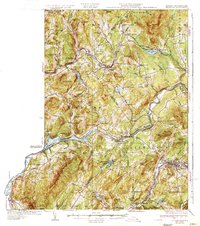
The Connecticut River serves as the winding boundary between Vermont and New Hampshire in this mid-1930s survey, anchoring a landscape defined by its industrial and agricultural vitality. The Frank D. Comerford Hydro-Electric Plant stands as a major landmark along the river's path, while the intersection of the Maine Central Railroad and the Boston and Maine Railroad near Littleton highlights the region's importance as a transportation hub.
Find a feature on this map
111 named features on this map. Tap any name to fly to it.
Don’t see what you’re looking for? This feature index may not catch every label — zoom into the map to look around manually.
Map Details
Editions of this 1935 Littleton Map
4 editions found
Other maps of this area

1900 · Whitefield
USGS Topo · 1:62,500

1920 · Guildhall
USGS Topo · 1:62,500

1929 · Moosilauke
USGS Topo · 1:62,500

1929 · Franconia
USGS Topo · 1:62,500

1931 · Guildhall
USGS Topo · 1:48,000

1931 · Littleton
USGS Topo · 1:62,500

1931 · Woodsville
USGS Topo · 1:48,000

1932 · Franconia
USGS Topo · 1:62,500

1932 · Littleton
USGS Topo · 1:48,000

1932 · Moosilauke
USGS Topo · 1:62,500