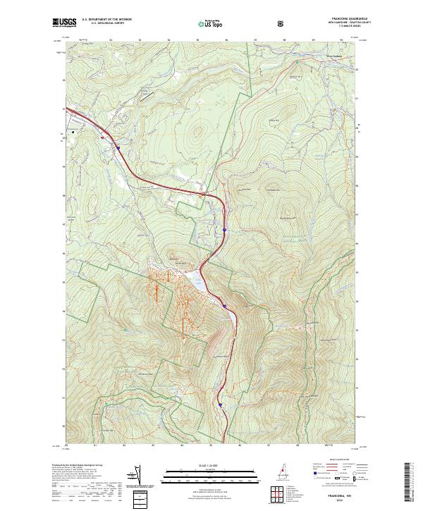
2024 Map of Franconia
USGS Topo · Published 2024About this map
Franconia Notch serves as the dramatic centerpiece of this mountain landscape, where the Pemigewasset River begins its descent through the high peaks of the White Mountains. The terrain is defined by legendary landmarks like Cannon Mtn, The Cannon Balls, and the prominent Mt Lafayette, illustrating the geological and recreational character of Grafton County. Near the village, the Franconia Airport and Presby Field indicate local aviation and community spaces, while Elmwood Cem provides a point of interest for genealogists tracing local families.
Find a feature on this map
99 named features on this map. Tap any name to fly to it.
Don’t see what you’re looking for? This feature index may not catch every label — zoom into the map to look around manually.
Map Details
Editions of this 2024 Franconia Map
This is the sole edition of this map. No revisions or reprints were ever made.
Other maps of this area

1900 · Whitefield
USGS Topo · 1:62,500

1929 · Moosilauke
USGS Topo · 1:62,500

1929 · Franconia
USGS Topo · 1:62,500

1931 · Littleton
USGS Topo · 1:62,500

1932 · Franconia
USGS Topo · 1:62,500

1932 · Littleton
USGS Topo · 1:48,000

1932 · Moosilauke
USGS Topo · 1:62,500

1935 · Littleton
USGS Topo · 1:62,500

1935 · Whitefield
USGS Topo · 1:48,000

1938 · Whitefield
USGS Topo · 1:62,500